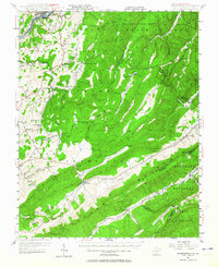
2023 Map of Ronceverte
USGS Topo · Published 2023About this map
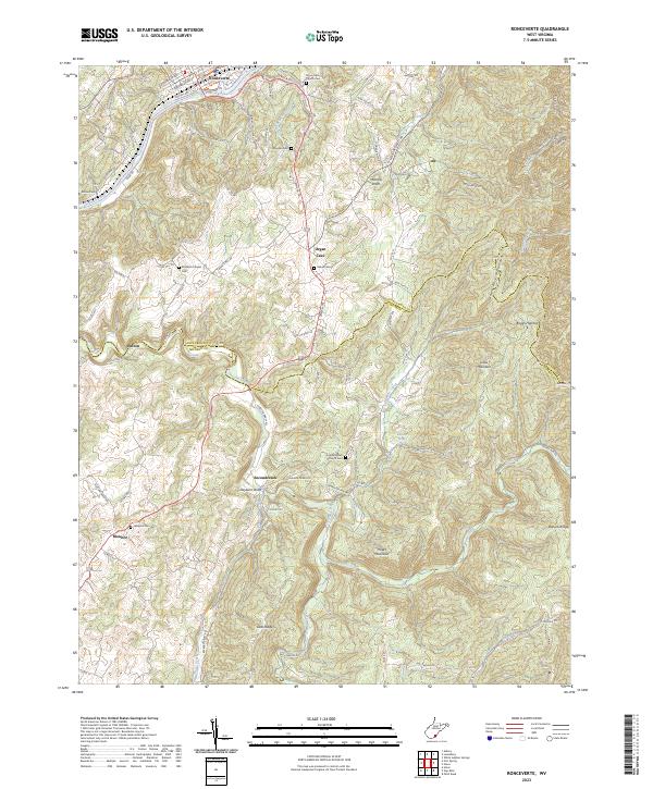
Ronceverte occupies a prominent bend of the Greenbrier River in this 2023 survey, marking a historical intersection of river transport and mountain trails. The landscape transitions south toward Secondcreek and Organ Cave, where the topography is defined by significant ridges like Hokes Mountain and White Rock Mountain. This contemporary view shows the enduring footprint of rural Appalachian settlement, evidenced by the high density of small cemeteries and country churches scattered across the uplands, such as Elizabeth Chapel and Salem Church.
Find a feature on this map
93 named features on this map. Tap any name to fly to it.
Don’t see what you’re looking for? This feature index may not catch every label — zoom into the map to look around manually.
Map Details
Editions of this 2023 Ronceverte Map
This is the sole edition of this map. No revisions or reprints were ever made.
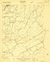
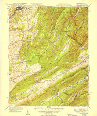
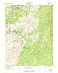
Historical Maps of Organ Cave Through Time
6 maps found