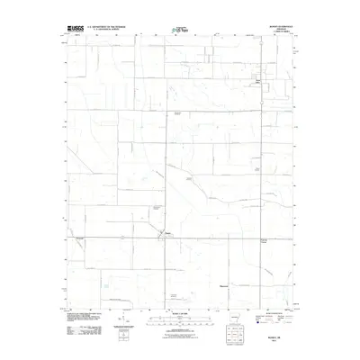
2011 Map of Rondo
USGS Topo · Published 2011About this map
Rondo serves as the central hub for this rural stretch of Lee County, where an extensive grid of secondary roads connects scattered agricultural communities and local burial grounds. The landscape is defined by the winding paths of Big Cypress Creek and Lick Creek, which contrast with the rigid north-south alignment of thoroughfares like Lee Road 309 and Lee Road 218.
Find a feature on this map
66 named features on this map. Tap any name to fly to it.
Don’t see what you’re looking for? This feature index may not catch every label — zoom into the map to look around manually.
Map Details
Editions of this 2011 Rondo Map
This is the sole edition of this map. No revisions or reprints were ever made.
Other maps of this area

1939 · Park Place
USGS Topo · 1:62,500

1939 · Latour
USGS Topo · 1:62,500

1940 · Marvell
USGS Topo · 1:62,500

1940 · Marianna
USGS Topo · 1:62,500

1948 · Helena
USGS Topo · 1:250,000

1950 · Helena
USGS Topo · 1:250,000

1955 · Park Place
USGS Topo · 1:62,500

1955 · Latour
USGS Topo · 1:62,500

1955 · Helena
USGS Topo · 1:250,000

1956 · Marvell
USGS Topo · 1:62,500