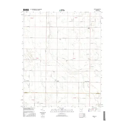
2017 Map of Rondo
USGS Topo · Published 2017About this map
Rondo sits at a crossroads in the Arkansas Delta, surrounded by a grid of agricultural lands and local transport routes. The landscape is defined by the winding course of Big Cypress Creek, which cuts through the flat terrain, influencing the placement of settlements and roads. This map highlights a dispersed community structure, where small clusters like Cypress Corner and Scott Valley are linked by an extensive network of county roads including Lee Road 314 and Lee Road 246.
Find a feature on this map
70 named features on this map. Tap any name to fly to it.
Don’t see what you’re looking for? This feature index may not catch every label — zoom into the map to look around manually.
Map Details
Editions of this 2017 Rondo Map
This is the sole edition of this map. No revisions or reprints were ever made.
Other maps of this area

1939 · Park Place
USGS Topo · 1:62,500

1939 · Latour
USGS Topo · 1:62,500

1940 · Marvell
USGS Topo · 1:62,500

1940 · Marianna
USGS Topo · 1:62,500

1948 · Helena
USGS Topo · 1:250,000

1950 · Helena
USGS Topo · 1:250,000

1955 · Park Place
USGS Topo · 1:62,500

1955 · Latour
USGS Topo · 1:62,500

1955 · Helena
USGS Topo · 1:250,000

1956 · Marvell
USGS Topo · 1:62,500