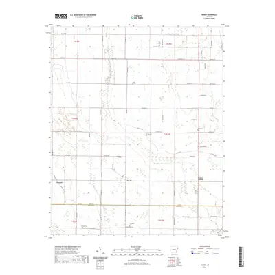
2020 Map of Rondo
USGS Topo · Published 2020About this map
Rondo serves as the central hub of this agricultural landscape in eastern Arkansas, situated along the border of Lee and Phillips Counties. The region is defined by a dense network of secondary routes, including State Hwy 243, which connect small outlying settlements such as Scott Valley and Vineyard. The prevalence of community landmarks, particularly burial grounds like Mount Zion Cem, Paradise Cem, and the uniquely named Possum Trot Cem, provides significant points of interest for those researching local family lineages and rural settlement patterns.
Find a feature on this map
67 named features on this map. Tap any name to fly to it.
Don’t see what you’re looking for? This feature index may not catch every label — zoom into the map to look around manually.
Map Details
Editions of this 2020 Rondo Map
This is the sole edition of this map. No revisions or reprints were ever made.
Other maps of this area

1939 · Park Place
USGS Topo · 1:62,500

1939 · Latour
USGS Topo · 1:62,500

1940 · Marvell
USGS Topo · 1:62,500

1940 · Marianna
USGS Topo · 1:62,500

1948 · Helena
USGS Topo · 1:250,000

1950 · Helena
USGS Topo · 1:250,000

1955 · Park Place
USGS Topo · 1:62,500

1955 · Latour
USGS Topo · 1:62,500

1955 · Helena
USGS Topo · 1:250,000

1956 · Marvell
USGS Topo · 1:62,500