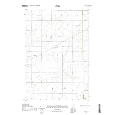
2022 Map of Ronneby
USGS Topo · Published 2022About this map
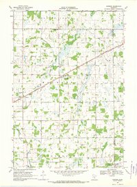
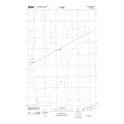
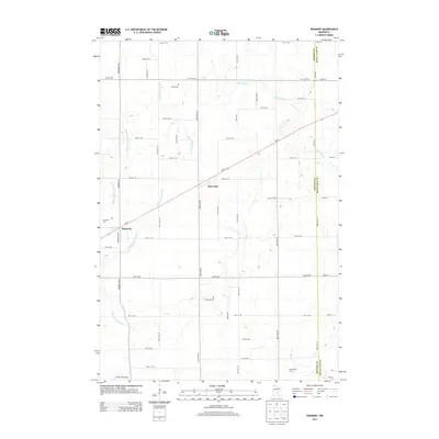
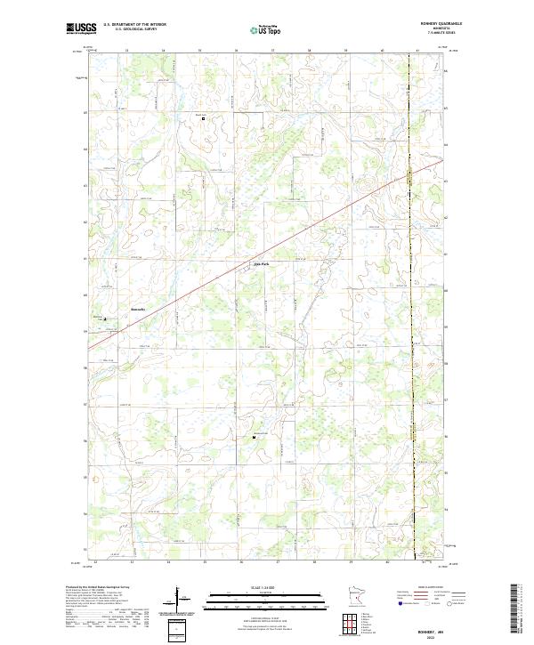
The Saint Francis River and its tributary Estes Brook define the hydrologic character of this rural landscape in eastern Benton County. Small settlements are concentrated along the primary roads, with Ronneby and Oak Park serving as local hubs. For genealogists, the map is an essential reference for local burial sites, clearly marking the Elwell Cem, Riverside Cem, and Maywood Cem. The terrain is characterized by a high density of wetlands and small water bodies typical of this region of Minnesota. The survey reveals a grid-like network of rural roads, including Co HWY 6 and Co HWY 5, which connect isolated farmsteads across the township boundaries. The map also delineates the county line between Benton Co and Mille Lacs Co, providing a precise look at the border area as it appeared in the early 21st century.
Find a feature on this map
53 named features on this map. Tap any name to fly to it.
Don’t see what you’re looking for? This feature index may not catch every label — zoom into the map to look around manually.
Map Details
Editions of this 2022 Ronneby Map
This is the sole edition of this map. No revisions or reprints were ever made.
Historical Maps of Ronneby Through Time
6 maps found