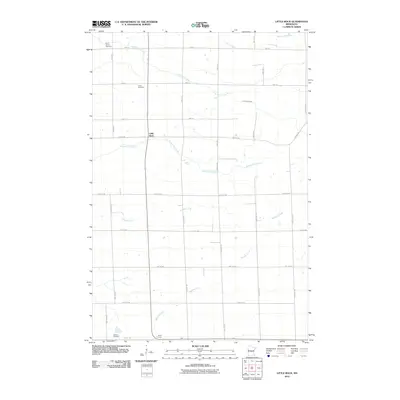
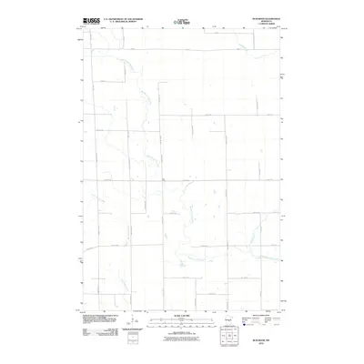
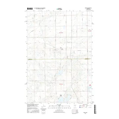
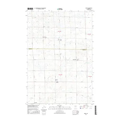
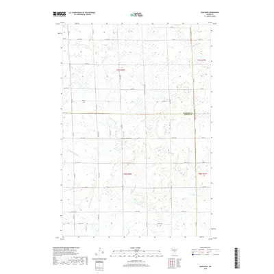
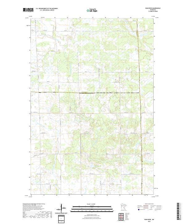
1968 Map of Rum River
USGS Topo · Published 1970About this map
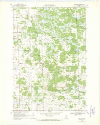
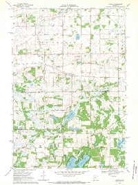
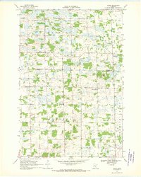
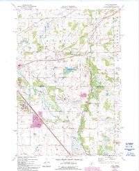
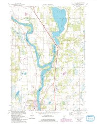
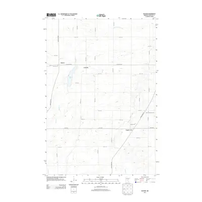
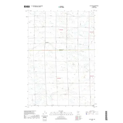
The West Branch Rum River and its various tributaries define this mid-century central Minnesota landscape, where the rural townships of Lakin and Granite Ledge overlap county lines. The area is characterized by a network of drainage and wetlands, with Tibbetts Brook and Stony Brook feeding into the river system. Social centers of the late 1960s are clearly marked, including the Lakin Ch and localized institutions like the Granite Ledge Sch and McKinley Sch. A central Townhall serves as a civic landmark amidst the scattered farmsteads. Resource extraction is evident through several Gravel Pit locations, while a prominent Pipeline cuts a straight path across the hydrography, illustrating the integration of modern infrastructure into the agricultural and wooded terrain of Benton, Morrison, and Mille Lacs counties.
Find a feature on this map
18 named features on this map. Tap any name to fly to it.
Don’t see what you’re looking for? This feature index may not catch every label — zoom into the map to look around manually.
Map Details
Editions of this 1968 Rum River Map
This is the sole edition of this map. No revisions or reprints were ever made.
Historical Maps of Milaca Township Through Time
42 maps found
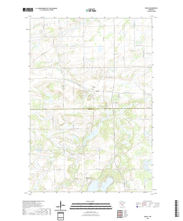
1968 Duelm
Benton County, MN
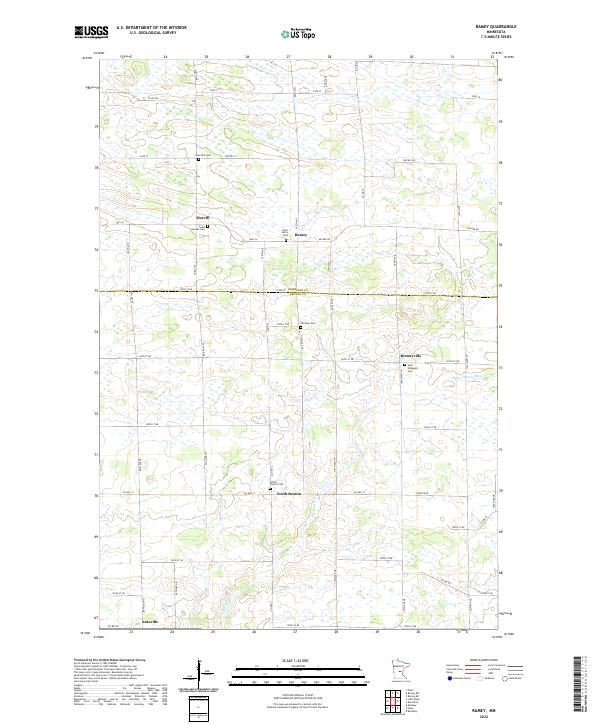
1968 Ramey
Benton County, MN
1968 Rum River
Benton County, MN
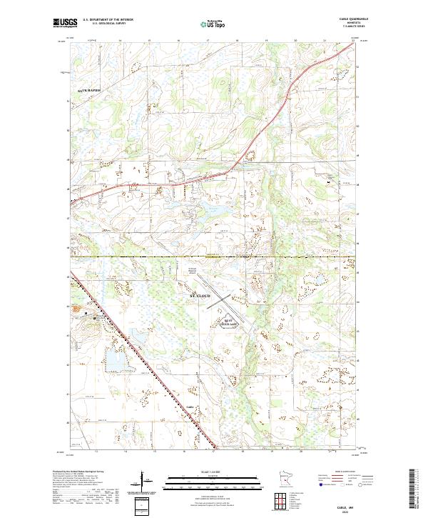
1974 Cable
Benton County, MN
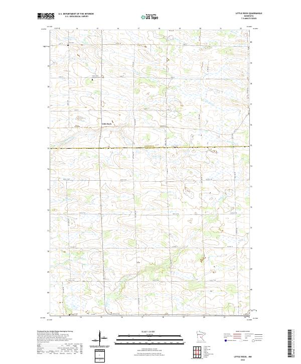
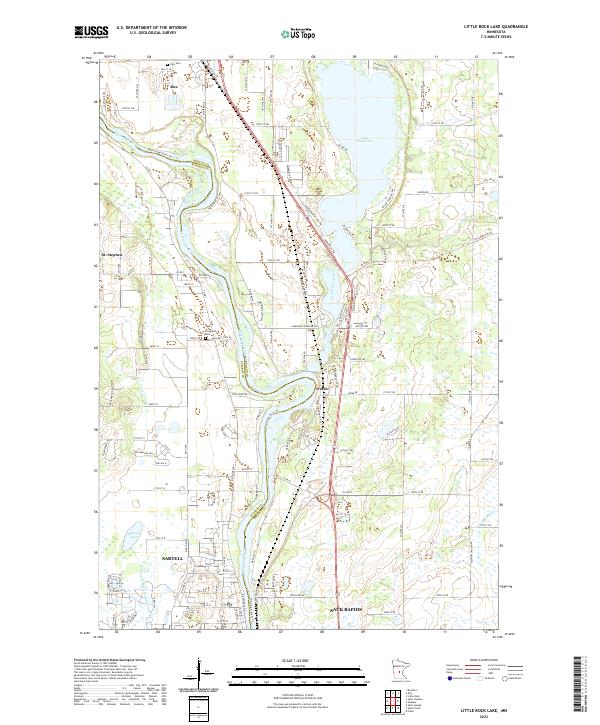
1974 Little Rock Lake
Benton County, MN
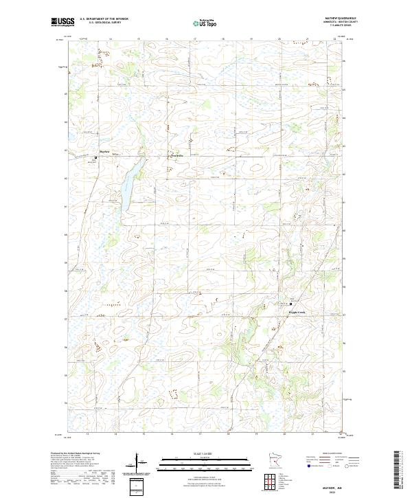
1974 Mayhew
Benton County, MN
1978 Little Rock
Benton County, MN
2010 Cable
Benton County, MN

2010 Duelm
Benton County, MN
2010 Little Rock
Benton County, MN
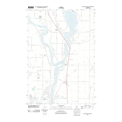
2010 Little Rock Lake
Benton County, MN
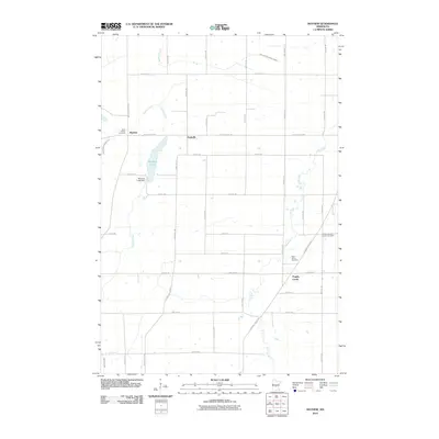
2010 Mayhew
Benton County, MN
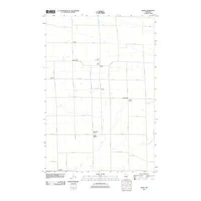
2010 Ramey
Benton County, MN
2010 Rum River
Benton County, MN
2013 Cable
Benton County, MN
2013 Duelm
Benton County, MN
2013 Little Rock
Benton County, MN

2013 Little Rock Lake
Benton County, MN
2013 Mayhew
Benton County, MN
2013 Ramey
Benton County, MN
2013 Rum River
Benton County, MN
2016 Cable
Benton County, MN
2016 Duelm
Benton County, MN
2016 Little Rock
Benton County, MN
2016 Little Rock Lake
Benton County, MN
2016 Mayhew
Benton County, MN
2016 Ramey
Benton County, MN
2016 Rum River
Benton County, MN
2019 Cable
Benton County, MN
2019 Duelm
Benton County, MN
2019 Little Rock
Benton County, MN
2019 Little Rock Lake
Benton County, MN
2019 Mayhew
Benton County, MN
2019 Ramey
Benton County, MN
2019 Rum River
Benton County, MN
2022 Cable
Benton County, MN
2022 Duelm
Benton County, MN
2022 Little Rock
Benton County, MN
2022 Little Rock Lake
Benton County, MN
2022 Mayhew
Benton County, MN
2022 Ramey
Benton County, MN
2022 Rum River
Benton County, MN