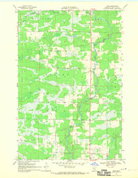
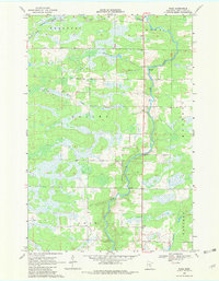
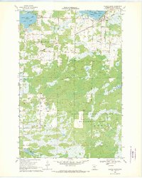
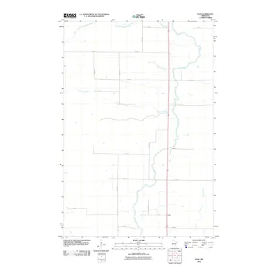
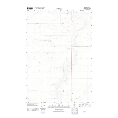
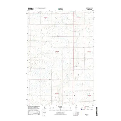
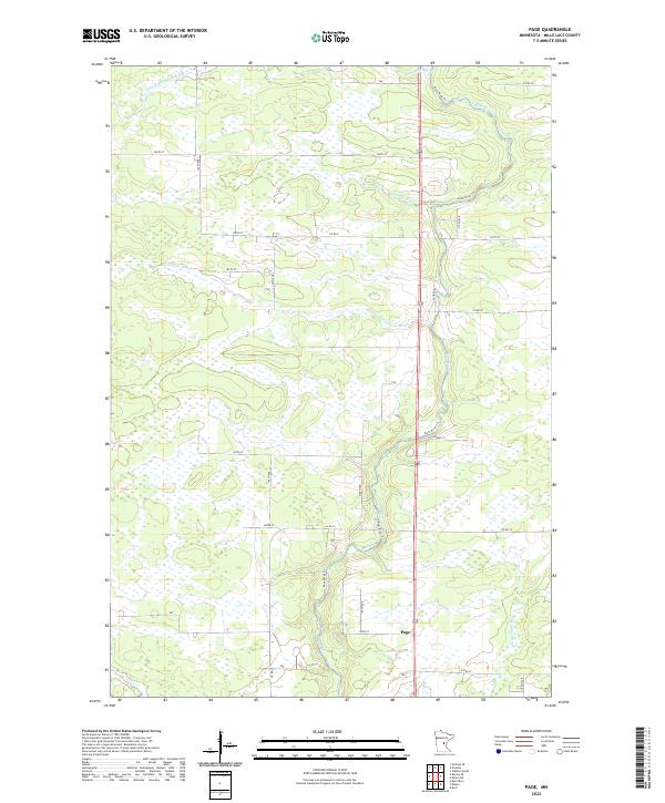
1968 Map of Page
USGS Topo · Published 1970About this map
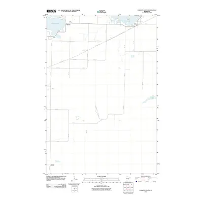
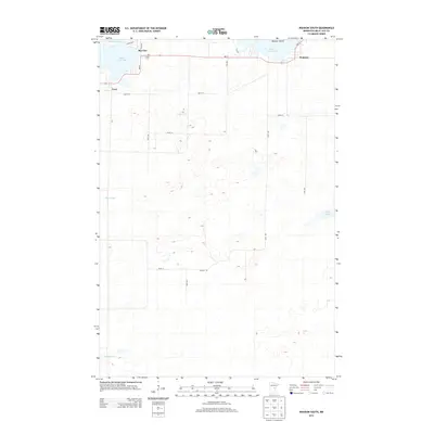
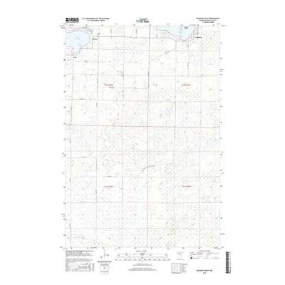
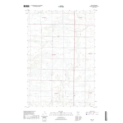
The Rum River serves as the central geographic feature of this central Minnesota landscape, winding southward through a mosaic of wetlands and timber. Near the southern edge of the map, the small settlement of Page sits along the river's course, representing the primary human hub in an area otherwise defined by drainage and timber management. The terrain is crisscrossed by numerous seasonal waterways, including Bradbury Brook, Robinson Brook, and Whitney Brook, which feed into the larger river system.
Find a feature on this map
20 named features on this map. Tap any name to fly to it.
Don’t see what you’re looking for? This feature index may not catch every label — zoom into the map to look around manually.
Map Details
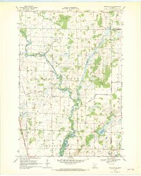
Editions of this 1968 Page Map
2 editions found
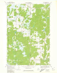
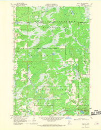
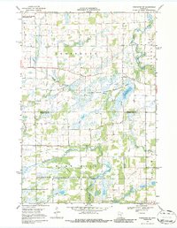
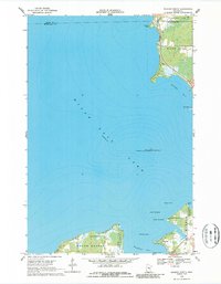
Historical Maps of Mudgett Township Through Time
48 maps found
1968 Isle SW
Mille Lacs County, MN
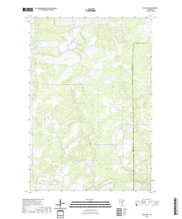
1968 Milaca NE
Mille Lacs County, MN
1968 Onamia NW
Mille Lacs County, MN
1968 Page
Mille Lacs County, MN
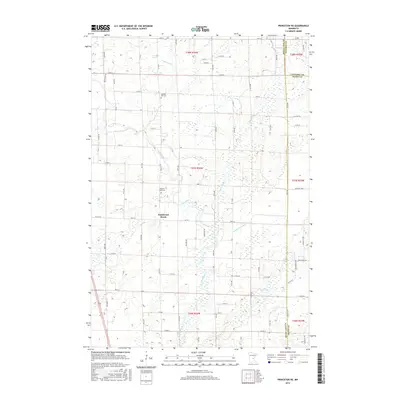
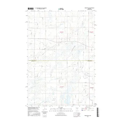
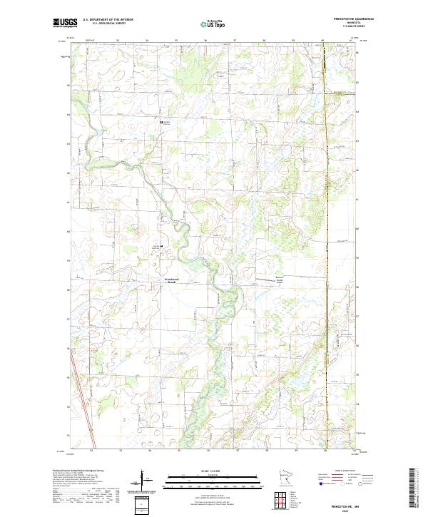
1968 Princeton NE
Mille Lacs County, MN
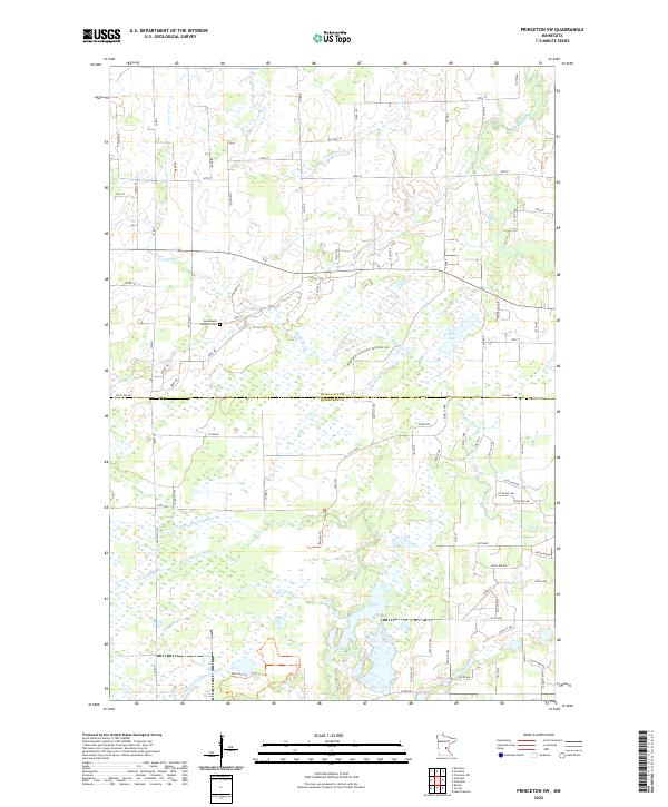
1968 Princeton SW
Mille Lacs County, MN
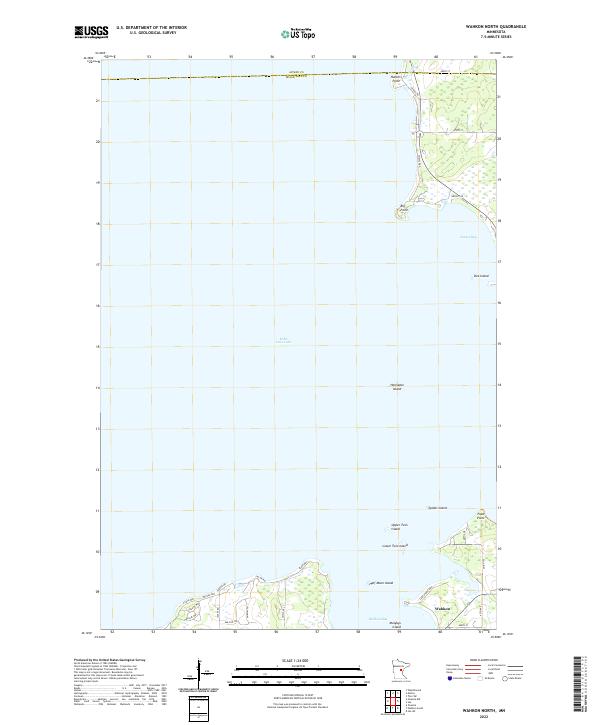
1968 Wahkon North
Mille Lacs County, MN
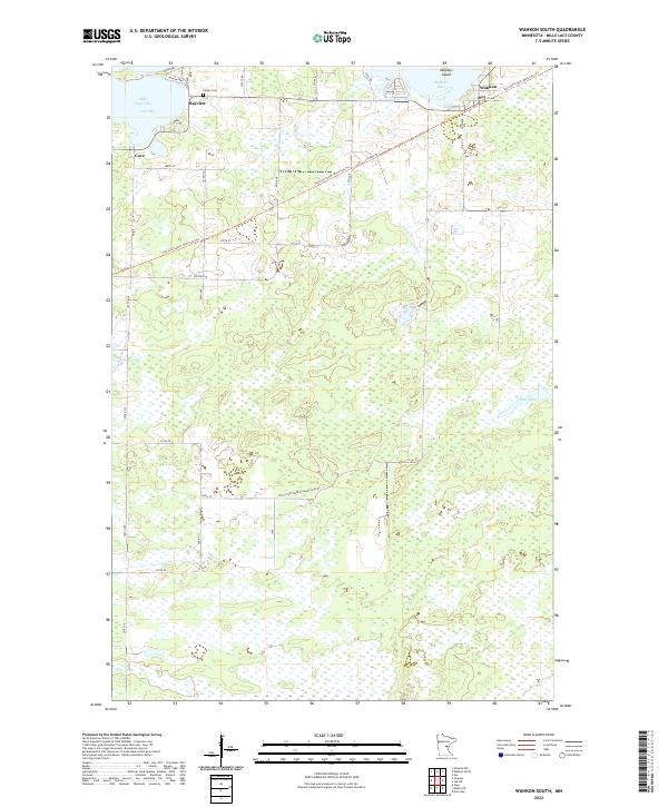
1968 Wahkon South
Mille Lacs County, MN
2010 Isle SW
Mille Lacs County, MN
2010 Milaca NE
Mille Lacs County, MN
2010 Onamia NW
Mille Lacs County, MN
2010 Page
Mille Lacs County, MN
2010 Princeton NE
Mille Lacs County, MN
2010 Princeton SW
Mille Lacs County, MN
2010 Wahkon North
Mille Lacs County, MN
2010 Wahkon South
Mille Lacs County, MN
2013 Isle SW
Mille Lacs County, MN
2013 Milaca NE
Mille Lacs County, MN
2013 Onamia NW
Mille Lacs County, MN
2013 Page
Mille Lacs County, MN
2013 Princeton NE
Mille Lacs County, MN
2013 Princeton SW
Mille Lacs County, MN
2013 Wahkon North
Mille Lacs County, MN
2013 Wahkon South
Mille Lacs County, MN
2016 Isle SW
Mille Lacs County, MN
2016 Milaca NE
Mille Lacs County, MN
2016 Onamia NW
Mille Lacs County, MN
2016 Page
Mille Lacs County, MN
2016 Princeton NE
Mille Lacs County, MN
2016 Princeton SW
Mille Lacs County, MN
2016 Wahkon North
Mille Lacs County, MN
2016 Wahkon South
Mille Lacs County, MN
2019 Isle SW
Mille Lacs County, MN
2019 Milaca NE
Mille Lacs County, MN
2019 Onamia NW
Mille Lacs County, MN
2019 Page
Mille Lacs County, MN
2019 Princeton NE
Mille Lacs County, MN
2019 Princeton SW
Mille Lacs County, MN
2019 Wahkon North
Mille Lacs County, MN
2019 Wahkon South
Mille Lacs County, MN

2022 Isle SW
Mille Lacs County, MN
2022 Milaca NE
Mille Lacs County, MN
2022 Onamia NW
Mille Lacs County, MN
2022 Page
Mille Lacs County, MN
2022 Princeton NE
Mille Lacs County, MN
2022 Princeton SW
Mille Lacs County, MN
2022 Wahkon North
Mille Lacs County, MN
2022 Wahkon South
Mille Lacs County, MN