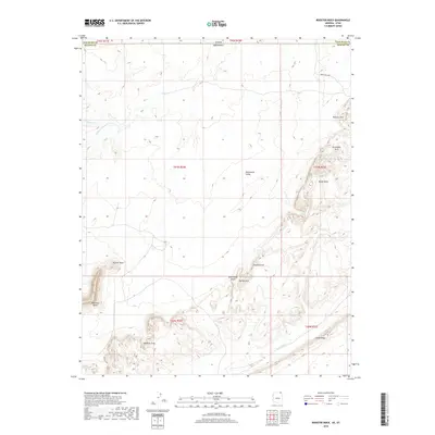
2018 Map of Rooster Rock
USGS Topo · Published 2018About this map
Rooster Rock stands as a prominent landmark in this desert landscape along the border of Arizona and Utah. This 2018 survey reveals a terrain defined by dramatic geological formations, where the massive Comb Ridge cuts across the southeast corner and Yazzie Mesa rises to the east. The area is notable for its concentration of natural spans, including Skeleton Arch, Genevieves Arch, Sunrise Arch, and the aptly named Forbidden Arch. Water is scarce in this portion of Monument Valley, represented primarily by the intermittent drainage of Gypsum Creek and Cane Valley. Navigation through the northern section is marked by Indian Rte 6440, providing access to this high-desert environment where Meridian Butte anchors the western edge of the quadrangle.
Find a feature on this map
23 named features on this map. Tap any name to fly to it.
Don’t see what you’re looking for? This feature index may not catch every label — zoom into the map to look around manually.
Map Details
Editions of this 2018 Rooster Rock Map
This is the sole edition of this map. No revisions or reprints were ever made.
Other maps of this area

1883 · Marsh Pass
USGS Topo · 1:250,000

1886 · Henry Mountains
USGS Topo · 1:250,000

1886 · Abajo
USGS Topo · 1:250,000

1892 · Marsh Pass
USGS Topo · 1:250,000

1892 · Abajo
USGS Topo · 1:250,000

1892 · Henry Mountains
USGS Topo · 1:250,000

1892 · Canyon De Chelly
USGS Topo · 1:250,000

1893 · Abajo
USGS Topo · 1:250,000

1952 · Bluff 3 SE
USGS Topo · 1:24,000

1952 · Dinnehotso
USGS Topo · 1:62,500