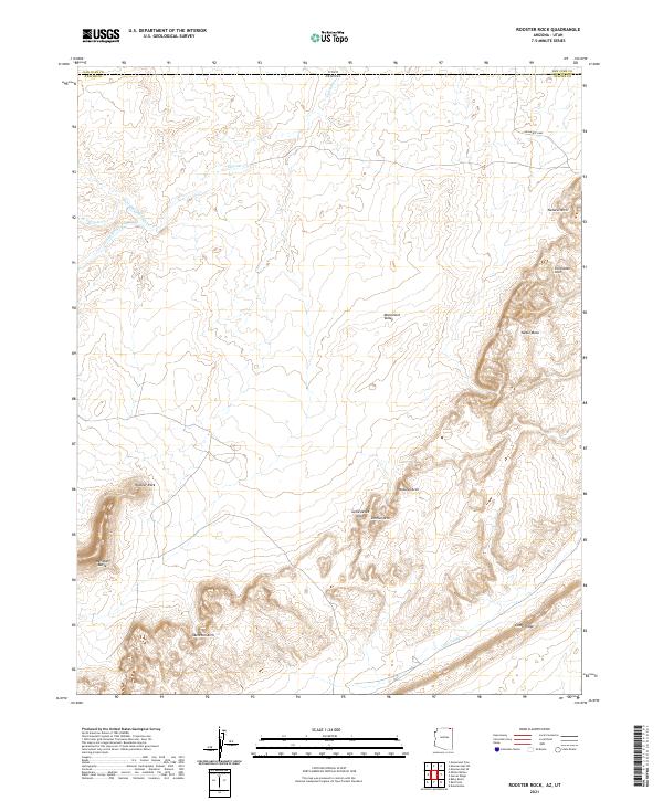
2021 Map of Rooster Rock
USGS Topo · Published 2021About this map
Monument Valley landforms dominate this corner of the Navajo Nation where the Arizona and Utah state line divides Apache Co and San Juan Co. The landscape is a high-desert gallery of natural stone formations, defined by the towering Rooster Rock and the long, sweeping curve of Comb Ridge to the southeast. The survey details a network of erosion-carved features, ranging from the broad expanse of Yazzie Mesa to isolated landmarks like Meridian Butte.
Find a feature on this map
22 named features on this map. Tap any name to fly to it.
Don’t see what you’re looking for? This feature index may not catch every label — zoom into the map to look around manually.
Map Details
Editions of this 2021 Rooster Rock Map
This is the sole edition of this map. No revisions or reprints were ever made.
Other maps of this area

1883 · Marsh Pass
USGS Topo · 1:250,000

1886 · Henry Mountains
USGS Topo · 1:250,000

1886 · Abajo
USGS Topo · 1:250,000

1892 · Marsh Pass
USGS Topo · 1:250,000

1892 · Abajo
USGS Topo · 1:250,000

1892 · Henry Mountains
USGS Topo · 1:250,000

1892 · Canyon De Chelly
USGS Topo · 1:250,000

1893 · Abajo
USGS Topo · 1:250,000

1952 · Bluff 3 SE
USGS Topo · 1:24,000

1952 · Dinnehotso
USGS Topo · 1:62,500