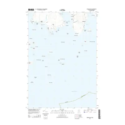
2014 Map of Roque Bluffs
USGS Topo · Published 2014About this map
Roque Bluffs and Starboard anchor this coastal survey of Washington County, where the terrestrial landscape is deeply fragmented by the Gulf of Maine. The settlement at Roque Bluffs is defined by its proximity to Simpson Pond and the sweeping Roque Bluffs Beach, while the community of Starboard sits at the edge of Starboard Cove. A complex network of local roads, including Schoppee Point Rd and Point of Maine Dr, provides access to the various peninsulas and points that reach into the sea.
Find a feature on this map
78 named features on this map. Tap any name to fly to it.
Don’t see what you’re looking for? This feature index may not catch every label — zoom into the map to look around manually.
Map Details
Editions of this 2014 Roque Bluffs Map
This is the sole edition of this map. No revisions or reprints were ever made.
Other maps of this area

1918 · Machias
USGS Topo · 1:62,500

1921 · Great Wass Island
USGS Topo · 1:62,500

1921 · Columbia Falls
USGS Topo · 1:62,500

1941 · Columbia Falls
USGS Topo · 1:62,500

1941 · Machias
USGS Topo · 1:62,500

1942 · Columbia Falls
USGS Topo · 1:62,500

1948 · Jonesport
USGS Topo · 1:24,000

1948 · Roque Bluffs
USGS Topo · 1:24,000
1948 · Whitneyville
USGS Topo · 1:24,000
1949 · Machias
USGS Topo · 1:24,000