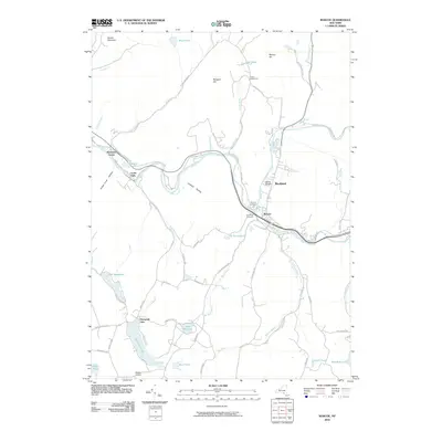
2010 Map of Roscoe
USGS Topo · Published 2010About this map
Beaver Kill and Willowemoc Creek converge near the heart of Roscoe, a junction long celebrated as a center for Catskill fly fishing culture. This 2010 survey details the riverside topography of the town and neighboring Rockland, following the water through the steep corridors of Lanfield Hollow and Parker Cook Hollow. The map records the local infrastructure of the era, from the small Skytop Airport in the south to the historic Bendo Bridge crossing the river to the north.
Find a feature on this map
69 named features on this map. Tap any name to fly to it.
Don’t see what you’re looking for? This feature index may not catch every label — zoom into the map to look around manually.
Map Details
Editions of this 2010 Roscoe Map
This is the sole edition of this map. No revisions or reprints were ever made.
Other maps of this area

1920 · Long Eddy
USGS Topo · 1:62,500

1921 · Long Eddy
USGS Topo · 1:48,000

1921 · Livingston Manor
USGS Topo · 1:62,500

1922 · Andes
USGS Topo · 1:62,500

1923 · Long Eddy
USGS Topo · 1:62,500

1923 · Walton
USGS Topo · 1:48,000

1923 · Livingston Manor
USGS Topo · 1:62,500

1924 · Andes
USGS Topo · 1:62,500

1925 · Walton
USGS Topo · 1:62,500

1943 · Honesdale
USGS Topo · 1:125,000