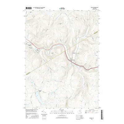
2016 Map of Roscoe
USGS Topo · Published 2016About this map
Beaver Kill and Willowemoc Creek converge near the heart of Roscoe, a village long-celebrated for its position at the gateway to the Catskills. This 2016 survey illustrates the valley floor occupied by the communities of Rockland and Cooks Falls, where the landscape is defined by the steep rises of Rodgers Hill and Burnt Hill. The map traces the winding paths of rural roads like Morton Hill Rd and Tennanah Lake Rd as they navigate the ridges and hollows, including the distinct terrain of The Punchbowl.
Find a feature on this map
88 named features on this map. Tap any name to fly to it.
Don’t see what you’re looking for? This feature index may not catch every label — zoom into the map to look around manually.
Map Details
Editions of this 2016 Roscoe Map
This is the sole edition of this map. No revisions or reprints were ever made.
Other maps of this area

1920 · Long Eddy
USGS Topo · 1:62,500

1921 · Long Eddy
USGS Topo · 1:48,000

1921 · Livingston Manor
USGS Topo · 1:62,500

1922 · Andes
USGS Topo · 1:62,500

1923 · Long Eddy
USGS Topo · 1:62,500

1923 · Walton
USGS Topo · 1:48,000

1923 · Livingston Manor
USGS Topo · 1:62,500

1924 · Andes
USGS Topo · 1:62,500

1925 · Walton
USGS Topo · 1:62,500

1943 · Honesdale
USGS Topo · 1:125,000