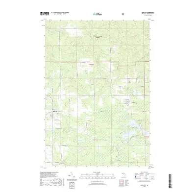
2019 Map of Rose City
USGS Topo · Published 2019About this map
Rose City and the nearby unincorporated community of Lupton anchor this northern Michigan landscape, where the transition from organized street grids to the wilder northern woods is sharp. Much of the northern half of the quadrangle is occupied by the Huron National Forest, featuring the high ground of Auger Hill and several winding timber-access paths like the Mack - Lupton Trail. The area is defined by its complex hydrology, with the Rifle River and its numerous tributaries such as Houghton Cr and Oyster Creek draining a terrain dotted with kettle lakes and wetlands.
Find a feature on this map
73 named features on this map. Tap any name to fly to it.
Don’t see what you’re looking for? This feature index may not catch every label — zoom into the map to look around manually.
Map Details
Editions of this 2019 Rose City Map
This is the sole edition of this map. No revisions or reprints were ever made.
Other maps of this area

1954 · Traverse City
USGS Topo · 1:250,000

1954 · Tawas City
USGS Topo · 1:250,000

1958 · Traverse City
USGS Topo · 1:250,000

1958 · Tawas City
USGS Topo · 1:250,000

1965 · Damon
USGS Topo · 1:24,000

1965 · West Branch
USGS Topo · 1:24,000

1965 · Selkirk
USGS Topo · 1:24,000

1965 · Rose City
USGS Topo · 1:24,000

1968 · Sage Lake
USGS Topo · 1:24,000

1968 · South Branch
USGS Topo · 1:24,000