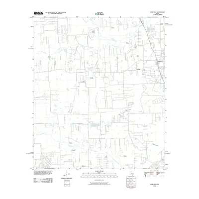
2010 Map of Rose Hill
USGS Topo · Published 2010About this map
Rose Hill and the western edge of Tomball anchor this landscape during a period of suburban expansion into the former prairie and oil lands north of Houston. The area is defined by its deep history of local families and congregations, evidenced by the numerous burial grounds scattered throughout the quadrangle, including Sander Cemetery, Salem Cemetery, and Zahn Cemetery. The transition from rural agriculture to residential development is visible in the network of ranch roads and newer subdivisions branching off FM 2920 Rd.
Find a feature on this map
79 named features on this map. Tap any name to fly to it.
Don’t see what you’re looking for? This feature index may not catch every label — zoom into the map to look around manually.
Map Details
Editions of this 2010 Rose Hill Map
This is the sole edition of this map. No revisions or reprints were ever made.
Other maps of this area

1915 · Cypress
USGS Topo · 1:24,000

1916 · Rose Hill
USGS Topo · 1:24,000

1916 · Louetta
USGS Topo · 1:24,000

1916 · Hockley
USGS Topo · 1:24,000

1916 · Satsuma
USGS Topo · 1:24,000

1916 · Swanson
USGS Topo · 1:24,000

1918 · Cypress
USGS Topo · 1:31,680

1919 · Swanson
USGS Topo · 1:31,680

1920 · Hockley
USGS Topo · 1:31,680

1920 · Rose Hill
USGS Topo · 1:31,680