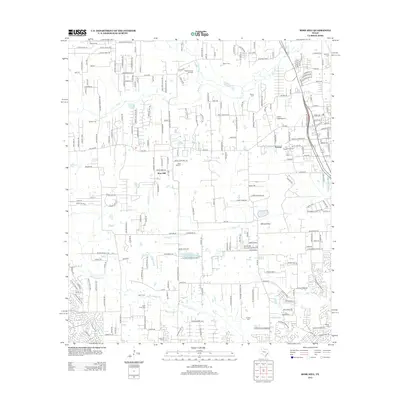
2013 Map of Rose Hill
USGS Topo · Published 2013About this map
Rose Hill and Treichel anchor this suburbanizing landscape north of Houston, where the mid-century petroleum economy and modern aviation intersect. Industrial footprints of the Decker Prairie Oil Field and the Tomball Oil Field are clearly visible, marking the continued significance of the region's mineral wealth. Family history and local genealogy are well-preserved through numerous burial sites, including the Rose Hill Cem, Sander Cem, and Zahn Cem. The area’s aviation infrastructure is represented by the Dan Jones International Airport and Field's Field Airport, reflecting the rapid expansion of private and commercial flight corridors. These developed spaces are framed by the natural drainage patterns of Spring Cr, Willow Cr, and Little Cypress Cr, while the terrain of Willow Flats provides a contrast to the dense network of residential streets and local landmarks like the Letter M Ranch.
Find a feature on this map
215 named features on this map. Tap any name to fly to it.
Don’t see what you’re looking for? This feature index may not catch every label — zoom into the map to look around manually.
Map Details
Editions of this 2013 Rose Hill Map
This is the sole edition of this map. No revisions or reprints were ever made.
Other maps of this area

1915 · Cypress
USGS Topo · 1:24,000

1916 · Rose Hill
USGS Topo · 1:24,000

1916 · Louetta
USGS Topo · 1:24,000

1916 · Hockley
USGS Topo · 1:24,000

1916 · Satsuma
USGS Topo · 1:24,000

1916 · Swanson
USGS Topo · 1:24,000

1918 · Cypress
USGS Topo · 1:31,680

1919 · Swanson
USGS Topo · 1:31,680

1920 · Hockley
USGS Topo · 1:31,680

1920 · Rose Hill
USGS Topo · 1:31,680