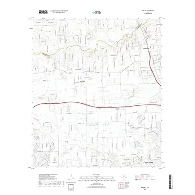
2019 Map of Rose Hill
USGS Topo · Published 2019About this map
Tomball and Rose Hill sit at the center of this suburbanizing landscape north of Houston, where the boundary between Montgomery Co and Harris Co follows the winding path of Spring Creek. The map reveals a high density of small family and community burial grounds, including the Saint John Cem, Rose Hill Cem, and Sander Cem, reflecting the area's deep-rooted agricultural history before the expansion of residential subdivisions.
Find a feature on this map
226 named features on this map. Tap any name to fly to it.
Don’t see what you’re looking for? This feature index may not catch every label — zoom into the map to look around manually.
Map Details
Editions of this 2019 Rose Hill Map
This is the sole edition of this map. No revisions or reprints were ever made.
Other maps of this area
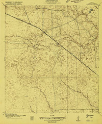
1915 · Cypress
USGS Topo · 1:24,000
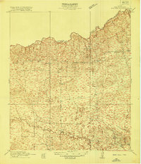
1916 · Rose Hill
USGS Topo · 1:24,000

1916 · Louetta
USGS Topo · 1:24,000
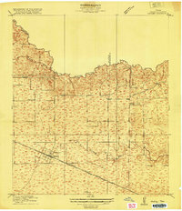
1916 · Hockley
USGS Topo · 1:24,000
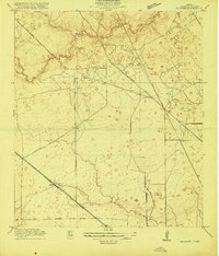
1916 · Satsuma
USGS Topo · 1:24,000
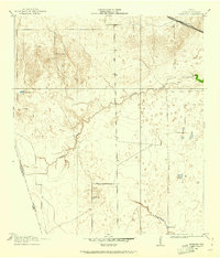
1916 · Swanson
USGS Topo · 1:24,000
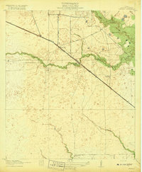
1918 · Cypress
USGS Topo · 1:31,680
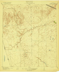
1919 · Swanson
USGS Topo · 1:31,680
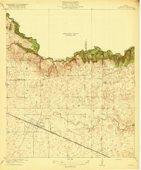
1920 · Hockley
USGS Topo · 1:31,680
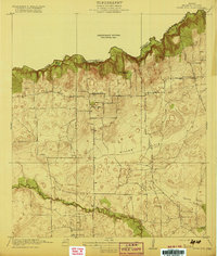
1920 · Rose Hill
USGS Topo · 1:31,680