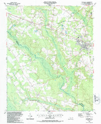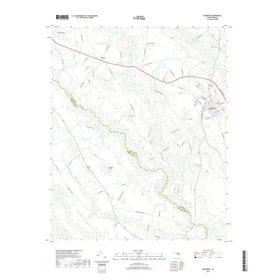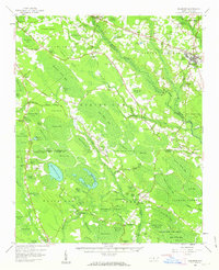
1959 Map of Roseboro
USGS Topo · Published 1960About this map
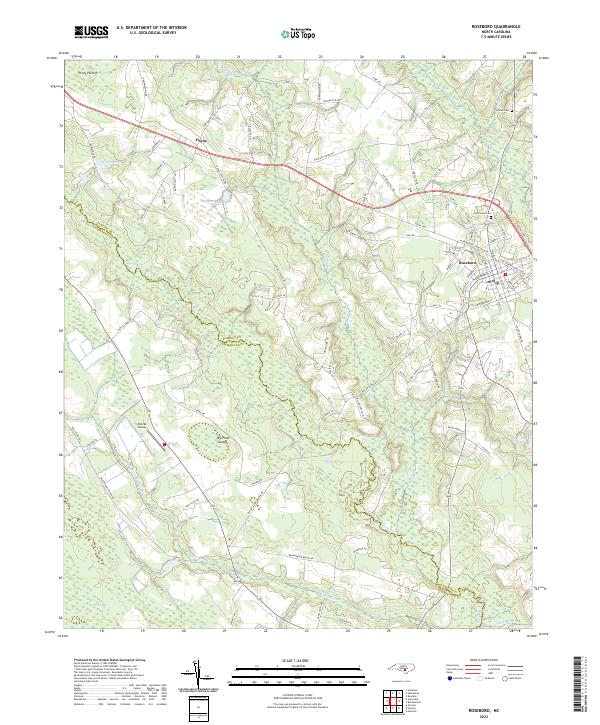
Roseboro and Autryville anchor a landscape defined by an unusual geomorphology of elliptical depressions and water-saturated lowlands during the late 1950s. The terrain is characterized by numerous named "bays" and shallow bodies like Bushy Lake and Little Singletary Lake, surrounded by dense marshland such as The Pocosin and Gallberry Swamp. This environment dictated a dispersed settlement pattern, with rural life centered on local institutions like the Perry High Sch and numerous country churches, including China Grove Ch and Union Hill Ch. Industrial activity is localized, evidenced by the Brickkilns and Claypits near Hayne, while the Atlantic Coast Line railroad provides the primary transportation artery through the northern reaches. Much of the southern territory is preserved within the Turnbull State Forest and Bladen Lakes State Forest, where the unique wetland ecology remained largely undeveloped by the mid-century.
Find a feature on this map
111 named features on this map. Tap any name to fly to it.
Don’t see what you’re looking for? This feature index may not catch every label — zoom into the map to look around manually.
Map Details
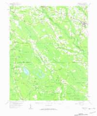
Editions of this 1959 Roseboro Map
2 editions found
Historical Maps of Roseboro Through Time
7 maps found