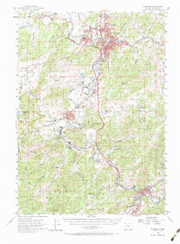
1955 Map of Roseburg
USGS Topo · Published 1984About this map
The South Umpqua River winds through this mid-century portrait of Douglas County, where the growing city of Roseburg serves as a regional hub for the timber and agricultural valleys. This 1955 survey captures the transition of the landscape as the Pacific Highway and the Southern Pacific railroad corridor facilitate movement between rural hamlets like Melrose and Myrtle Creek. Notable institutional footprints are evident at the Veterans Hospital and the Municipal Airport, reflecting the post-war infrastructure development in the area.
Find a feature on this map
73 named features on this map. Tap any name to fly to it.
Don’t see what you’re looking for? This feature index may not catch every label — zoom into the map to look around manually.
Map Details
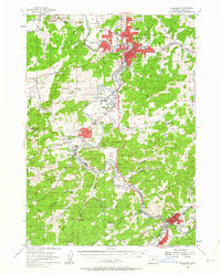
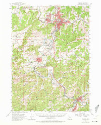
Editions of this 1955 Roseburg Map
4 editions found

Other maps of this area

1897 · Roseburg
USGS Topo · 1:125,000

1900 · Roseburg
USGS Topo · 1:125,000

1904 · Riddle
USGS Topo · 1:125,000

1928 · Sitkum
USGS Topo · 1:125,000

1946 · Dutchman Butte
USGS Topo · 1:62,500

1948 · Dutchman Butte
USGS Topo · 1:62,500

1954 · Dixonville
USGS Topo · 1:62,500

1954 · Sutherlin
USGS Topo · 1:62,500

1954 · Days Creek
USGS Topo · 1:62,500

1954 · Canyonville
USGS Topo · 1:62,500