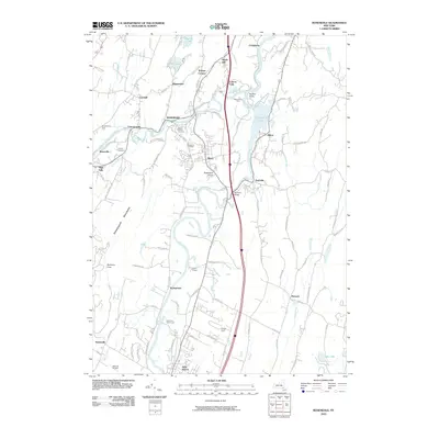
2010 Map of Rosendale
USGS Topo · Published 2010About this map
The Wallkill River and Rondout Creek converge in this corner of Ulster County, shaping a landscape defined by water and narrow valleys. Significant hamlets like Rosendale, Tillson, and Rifton are centered around these waterways, which historically provided the power and transport for local industries. Notable historical landmarks include Perrine's Bridge crossing the Rondout and several established burial grounds such as Saint Peters Cemetery and the Rosendale Cemetery.
Find a feature on this map
102 named features on this map. Tap any name to fly to it.
Don’t see what you’re looking for? This feature index may not catch every label — zoom into the map to look around manually.
Map Details
Editions of this 2010 Rosendale Map
This is the sole edition of this map. No revisions or reprints were ever made.
Other maps of this area

1893 · Poughkeepsie
USGS Topo · 1:62,500

1894 · Poughkeepsie
USGS Topo · 1:62,500

1898 · Rhinebeck
USGS Topo · 1:62,500

1901 · Rosendale
USGS Topo · 1:62,500

1903 · Poughkeepsie
USGS Topo · 1:62,500

1903 · Newburg
USGS Topo · 1:62,500

1903 · Rosendale
USGS Topo · 1:62,500

1934 · Rhinebeck
USGS Topo · 1:48,000

1936 · Poughkeepsie
USGS Topo · 1:48,000

1939 · Rhinebeck
USGS Topo · 1:62,500