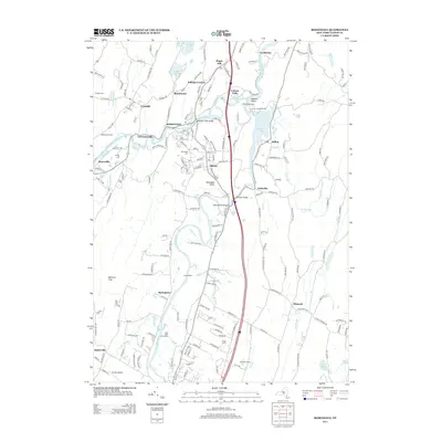
2013 Map of Rosendale
USGS Topo · Published 2013About this map
The convergence of the Rondout Creek and the Wallkill River defines the geography of this Ulster County region, where the town of Rosendale serves as a central hub. This early 21st-century landscape is marked by historical water features and crossings, including the historic Perrine's Bridge and the expansive Sturgeon Pool to the east. The map detail reflects a transition from traditional hamlets to contemporary residential patterns, preserving several family and agricultural landmarks such as Mollenhauer Farm and Greger Farm.
Find a feature on this map
184 named features on this map. Tap any name to fly to it.
Don’t see what you’re looking for? This feature index may not catch every label — zoom into the map to look around manually.
Map Details
Editions of this 2013 Rosendale Map
This is the sole edition of this map. No revisions or reprints were ever made.
Other maps of this area

1893 · Poughkeepsie
USGS Topo · 1:62,500

1894 · Poughkeepsie
USGS Topo · 1:62,500

1898 · Rhinebeck
USGS Topo · 1:62,500

1901 · Rosendale
USGS Topo · 1:62,500

1903 · Poughkeepsie
USGS Topo · 1:62,500

1903 · Newburg
USGS Topo · 1:62,500

1903 · Rosendale
USGS Topo · 1:62,500

1934 · Rhinebeck
USGS Topo · 1:48,000

1936 · Poughkeepsie
USGS Topo · 1:48,000

1939 · Rhinebeck
USGS Topo · 1:62,500