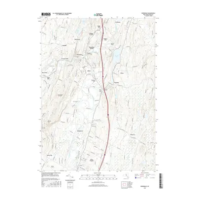
2016 Map of Rosendale
USGS Topo · Published 2016About this map
Rondout Creek and the Wallkill River converge in this Hudson Valley landscape, where 19th-century industrial remnants meet modern conservation efforts. The Wallkill Valley Rail Trail traces a path through the heart of the region, following the former rail corridor past old cement-mining settlements like Binnewater and Lawrenceville. Historic crossings remain central to the topography, most notably the Rondout Creek Bridge and the storied Perrine's Bridge at Dashville.
Find a feature on this map
146 named features on this map. Tap any name to fly to it.
Don’t see what you’re looking for? This feature index may not catch every label — zoom into the map to look around manually.
Map Details
Editions of this 2016 Rosendale Map
This is the sole edition of this map. No revisions or reprints were ever made.
Other maps of this area

1893 · Poughkeepsie
USGS Topo · 1:62,500

1894 · Poughkeepsie
USGS Topo · 1:62,500

1898 · Rhinebeck
USGS Topo · 1:62,500

1901 · Rosendale
USGS Topo · 1:62,500

1903 · Poughkeepsie
USGS Topo · 1:62,500

1903 · Newburg
USGS Topo · 1:62,500

1903 · Rosendale
USGS Topo · 1:62,500

1934 · Rhinebeck
USGS Topo · 1:48,000

1936 · Poughkeepsie
USGS Topo · 1:48,000

1939 · Rhinebeck
USGS Topo · 1:62,500