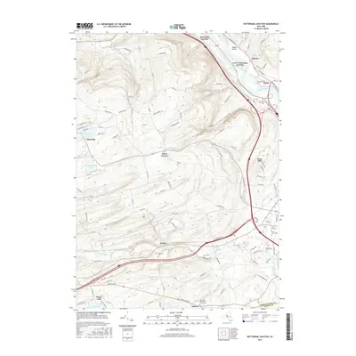
2016 Map of Rotterdam Junction
USGS Topo · Published 2016About this map
Rotterdam Junction and the adjacent Lower Rotterdam Junction occupy the valley floor along the Mohawk River, illustrating the enduring importance of this waterway corridor. The landscape rises sharply from the riverbanks into the hills of Schenectady County, where small crossroads like Rynex Corners and Kelleys dot the upland terrain. These higher elevations are characterized by a network of seasonal streams, including the Moccasin Kill and Plotter Kill, which have shaped the local topography over time.
Find a feature on this map
113 named features on this map. Tap any name to fly to it.
Don’t see what you’re looking for? This feature index may not catch every label — zoom into the map to look around manually.
Map Details
Editions of this 2016 Rotterdam Junction Map
This is the sole edition of this map. No revisions or reprints were ever made.
Other maps of this area

1893 · Schenectady
USGS Topo · 1:62,500

1893 · Albany
USGS Topo · 1:62,500

1895 · Albany
USGS Topo · 1:62,500

1895 · Schenectady
USGS Topo · 1:62,500

1895 · Amsterdam
USGS Topo · 1:62,500

1898 · Schenectady
USGS Topo · 1:62,500

1898 · Albany
USGS Topo · 1:62,500

1900 · Berne
USGS Topo · 1:62,500

1903 · Berne
USGS Topo · 1:62,500

1927 · Albany
USGS Topo · 1:62,500