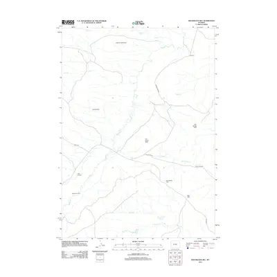
2012 Map of Roughlock Hill
USGS Topo · Published 2012About this map
Buffalo Cr carves a winding path through this corner of Natrona County, where the high desert landscape is defined by its dramatic relief and sparse ranching outposts. Settled features such as Buffalo Creek Ranch and Red Cabin sit among topographic landmarks like The Island Butte and Cow Spring Butte, illustrating the isolated nature of operations in this territory. The drainage network is complex, with Lost Cr and Spring Cr feeding into the main channel, while the prominent Red Wall and Roughlock Hill provide distinct navigational points for those traversing the arid terrain. Transportation in the area relies on established routes like 33 Mile Rd and Willow Creek Rd, which bridge the gap between the steep slopes of Houck Slope and the deep recesses of Lost Canyon.
Find a feature on this map
20 named features on this map. Tap any name to fly to it.
Don’t see what you’re looking for? This feature index may not catch every label — zoom into the map to look around manually.
Map Details
Editions of this 2012 Roughlock Hill Map
This is the sole edition of this map. No revisions or reprints were ever made.
Other maps of this area

1955 · Arminto
USGS Topo · 1:250,000

1958 · Arminto
USGS Topo · 1:250,000

1961 · Barnum
USGS Topo · 1:62,500

1962 · Arminto
USGS Topo · 1:250,000

1967 · Gordon Creek
USGS Topo · 1:24,000

1968 · First Water Draw
USGS Topo · 1:24,000

1968 · Willow Creek School
USGS Topo · 1:24,000

1968 · Roughlock Hill
USGS Topo · 1:24,000

1968 · Big Sulfur Draw
USGS Topo · 1:24,000

1968 · Flat Top Hill
USGS Topo · 1:24,000