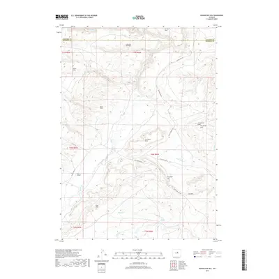
2017 Map of Roughlock Hill
USGS Topo · Published 2017About this map
Roughlock Hill and the dramatic geological formations of the Red Wall and Gray Wall dominate this portion of the Wyoming landscape. The terrain is defined by a series of named slopes and buttes, including The Island Butte and Cow Spring Butte, which rise above the drainages of Buffalo Creek and Little Willow Creek. This 2017 survey by the U.S. Geological Survey captures a sparsely populated region of central Wyoming where water remains the primary driver of name and place. Hackett Spring and Cow Spring Gulch indicate the critical role of water sources in this arid environment. The road network, primarily composed of Buffalo Creek Rd and Thirtythree Mile Rd, follows the natural contours of the land, connecting the various slopes like Houck Slope and Taylor Slope. These named features provide essential landmarks for navigating the complex topography between Lost Canyon and the surrounding high ground.
Find a feature on this map
30 named features on this map. Tap any name to fly to it.
Don’t see what you’re looking for? This feature index may not catch every label — zoom into the map to look around manually.
Map Details
Editions of this 2017 Roughlock Hill Map
This is the sole edition of this map. No revisions or reprints were ever made.
Other maps of this area

1955 · Arminto
USGS Topo · 1:250,000

1958 · Arminto
USGS Topo · 1:250,000

1961 · Barnum
USGS Topo · 1:62,500

1962 · Arminto
USGS Topo · 1:250,000

1967 · Gordon Creek
USGS Topo · 1:24,000

1968 · First Water Draw
USGS Topo · 1:24,000

1968 · Willow Creek School
USGS Topo · 1:24,000

1968 · Roughlock Hill
USGS Topo · 1:24,000

1968 · Big Sulfur Draw
USGS Topo · 1:24,000

1968 · Flat Top Hill
USGS Topo · 1:24,000