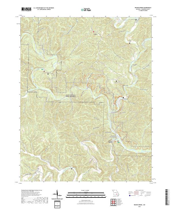
2021 Map of Round Spring
USGS Topo · Published 2021About this map
Ozark National Scenic Riverway dominates this landscape, protecting the winding course of the Current River as it carves through the Ozark Plateau. This 2021 survey details a region defined by its remarkable karst topography, where numerous springs like Cave Spring, Roaring Spring, and Pulltite Spring emerge from the limestone bluffs. The map illustrates the sparsely populated character of Shannon County, anchored by small settlements such as Timber, Ink, and Round Spring.
Find a feature on this map
112 named features on this map. Tap any name to fly to it.
Don’t see what you’re looking for? This feature index may not catch every label — zoom into the map to look around manually.
Map Details
Editions of this 2021 Round Spring Map
This is the sole edition of this map. No revisions or reprints were ever made.
Other maps of this area

1915 · Eminence
USGS Topo · 1:62,500

1917 · Eminence
USGS Topo · 1:62,500

1932 · Cedar Grove
USGS Topo · 1:48,000

1945 · Round Spring
USGS Topo · 1:62,500

1946 · Summersville
USGS Topo · 1:62,500

1947 · Sinkin
USGS Topo · 1:48,000

1948 · Summersville
USGS Topo · 1:62,500

1949 · Round Spring
USGS Topo · 1:62,500

1949 · Rolla
USGS Topo · 1:250,000

1951 · Cedargrove
USGS Topo · 1:24,000