
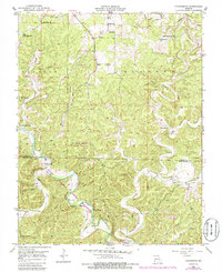
1951 Map of Cedargrove
USGS Topo · Published 1952About this map
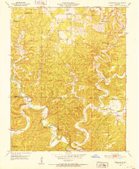
The Current River carves a deep path through the southern half of this 1951 survey, defining the landscape of Dent and Shannon counties. The terrain is a network of ridges and hollows, such as Parker Hollow and Coal Hollow, where small communities and family farms established themselves. The settlement of Cedargrove sits at a prominent bend in the river, serving as a focal point in a region characterized by remote schools and churches. Local social life and education were highly localized, evidenced by the distribution of one-room schoolhouses like Upper Parker Sch and Lower Parker Sch. This period shows a quiet Ozark Highlands interior before modern infrastructure transformed the area, where landmarks like Medlock Cave and the waters of Welch Spring provided natural points of interest. The map serves as a detailed record of the rural Ozarks, preserving the locations of vanished landmarks like Jadwin Ch and the South Cross Roads Sch that once anchored these hollows.
Find a feature on this map
41 named features on this map. Tap any name to fly to it.
Don’t see what you’re looking for? This feature index may not catch every label — zoom into the map to look around manually.
Map Details
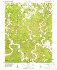
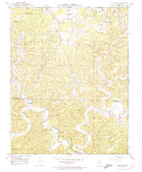
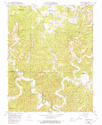
Editions of this 1951 Cedargrove Map
6 editions found
Other maps of this area

1932 · Cedar Grove
USGS Topo · 1:48,000

1941 · Salem
USGS Topo · 1:62,500

1941 · Stone Hill
USGS Topo · 1:62,500

1945 · Salem
USGS Topo · 1:62,500

1945 · Stone Hill
USGS Topo · 1:62,500

1945 · Round Spring
USGS Topo · 1:62,500

1947 · Sinkin
USGS Topo · 1:48,000

1949 · Round Spring
USGS Topo · 1:62,500

1949 · Rolla
USGS Topo · 1:250,000

1951 · Montauk
USGS Topo · 1:24,000