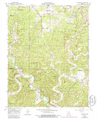
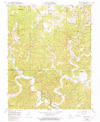
1951 Map of Cedargrove
USGS Topo · Published 1985About this map
The Current River carves through the central Ozark Highlands in this mid-century survey, anchoring a landscape defined by its deep spring-fed hollows and early rural infrastructure. Small settlements like Jadwin and Cedargrove serve as local hubs, supporting a network of dispersed country institutions including the Jadwin Ch, Street Chapel, and numerous schoolhouses such as Bluff Sch and Pleasant Ridge Sch. The transition of the land is visible in the presence of Cedar Grove State Forest and the Ozark National Scenic Riverways, reflecting a 1950s era of conservation alongside traditional river life.
Find a feature on this map
37 named features on this map. Tap any name to fly to it.
Don’t see what you’re looking for? This feature index may not catch every label — zoom into the map to look around manually.
Map Details
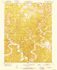
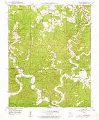
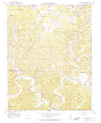
Editions of this 1951 Cedargrove Map
6 editions found

Other maps of this area

1932 · Cedar Grove
USGS Topo · 1:48,000

1941 · Salem
USGS Topo · 1:62,500

1941 · Stone Hill
USGS Topo · 1:62,500

1945 · Salem
USGS Topo · 1:62,500

1945 · Stone Hill
USGS Topo · 1:62,500

1945 · Round Spring
USGS Topo · 1:62,500

1947 · Sinkin
USGS Topo · 1:48,000

1949 · Round Spring
USGS Topo · 1:62,500

1949 · Rolla
USGS Topo · 1:250,000

1951 · Montauk
USGS Topo · 1:24,000