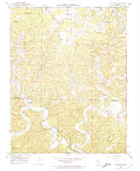
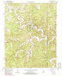
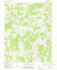
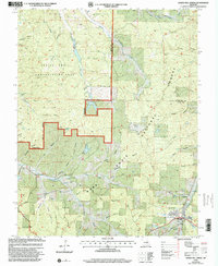
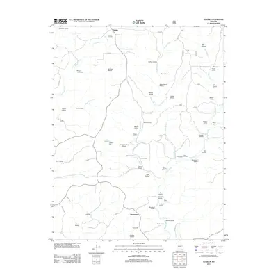
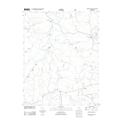
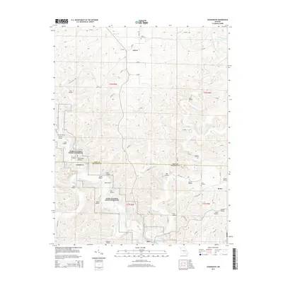
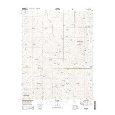
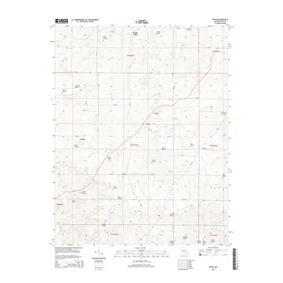
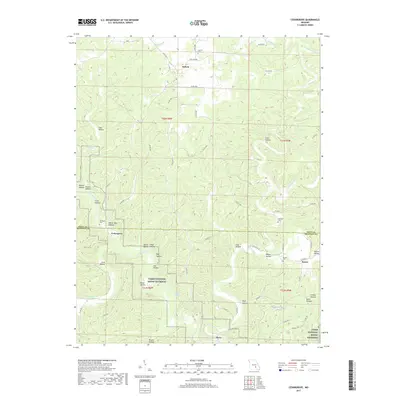
1951 Map of Cedargrove
USGS Topo · Published 1980About this map
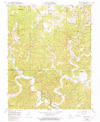
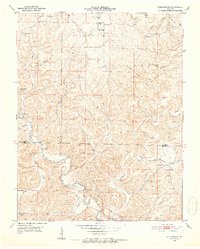
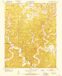
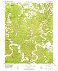
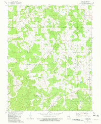
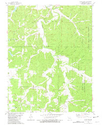
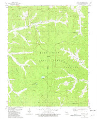
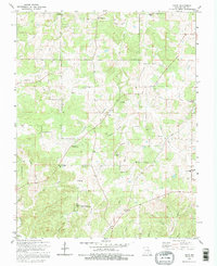
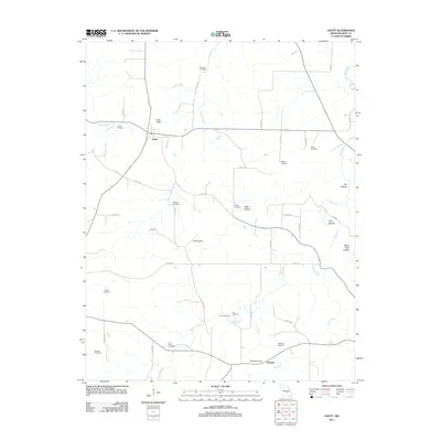
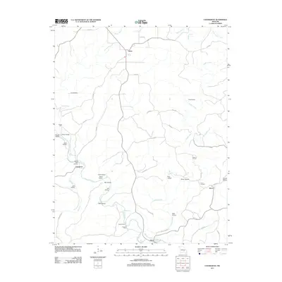
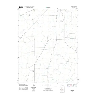
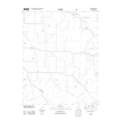
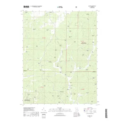
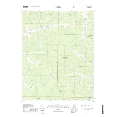
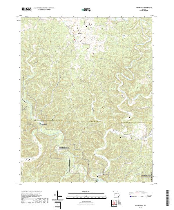
Current River meanders through the Ozark landscape of the Current River Hills and Gladden Hills, serving as the primary geographic axis for the scattered communities of Dent Co and Shannon Co. This 1951 survey shows a rural network centered on small crossroads and water sources, including the prominent flow of Welch Spring and Schafer Spring. Local life in this mid-century period was anchored by numerous neighborhood institutions, such as Jadwin Ch and Street Chapel, and a dense concentration of rural schoolhouses like Jadwin Sch, Halbrook Sch, and Upper Parker Sch. The topography is defined by an intricate system of hollows, including Jackson Hollow and Parker Hollow, which funneled local travel toward river crossings at Cedargrove and Akers. Geologists and historians can trace the transition from Dent County into Shannon County, marked by cemeteries like Halbrook Cem and the natural landmark of Medlock Cave.
Find a feature on this map
39 named features on this map. Tap any name to fly to it.
Don’t see what you’re looking for? This feature index may not catch every label — zoom into the map to look around manually.
Map Details
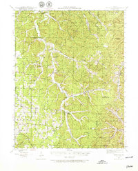
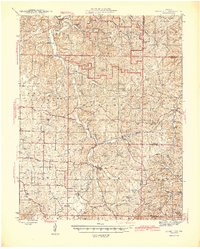
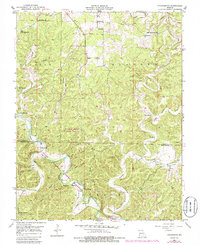
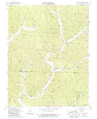
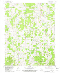
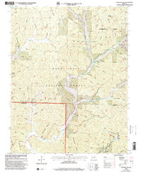
Editions of this 1951 Cedargrove Map
6 editions found
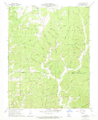
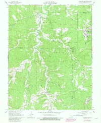
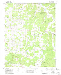
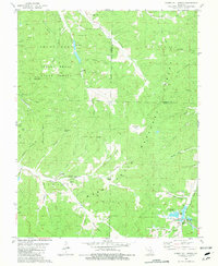
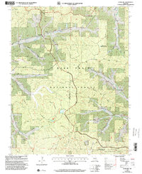
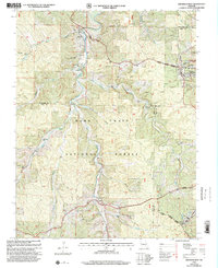
Historical Maps of Cedargrove Through Time
68 maps found
1941 Stone Hill
Dent County, MO
1945 Stone Hill
Dent County, MO
1951 Cedargrove
Dent County, MO
1951 Montauk
Dent County, MO
1967 Gladden
Dent County, MO
1967 Loggers Lake
Dent County, MO
1967 Viburnum West
Dent County, MO
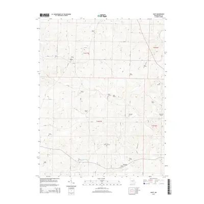
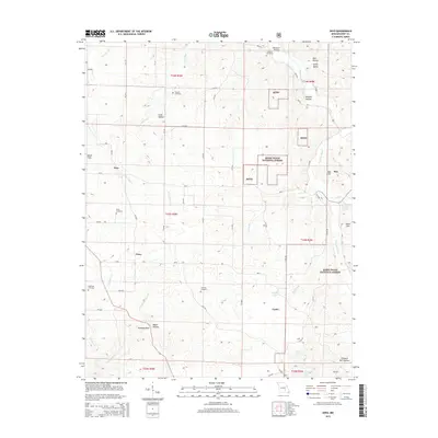
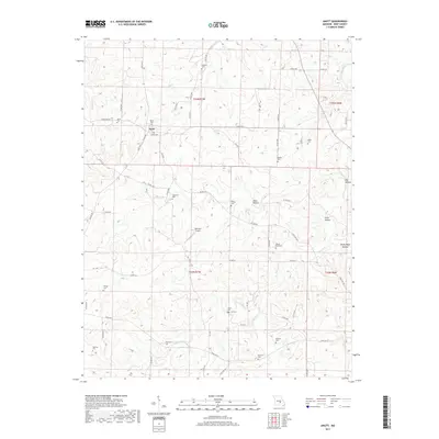
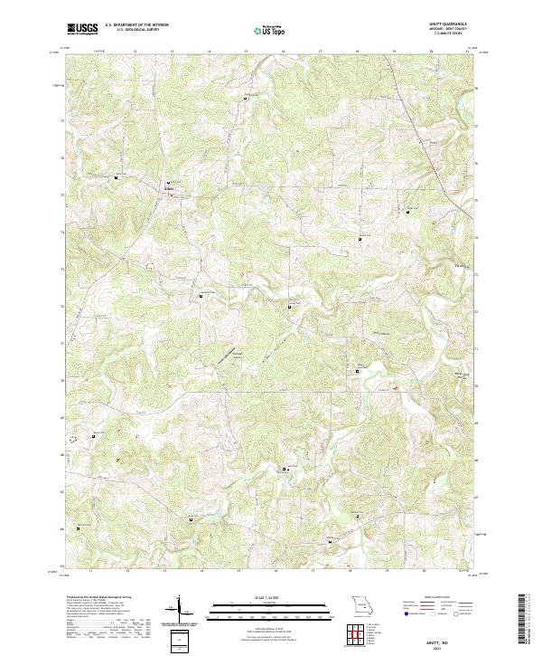
1981 Anutt
Dent County, MO
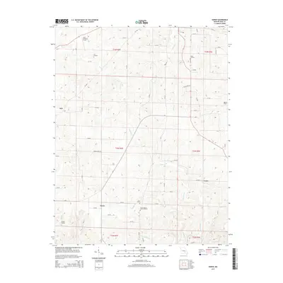
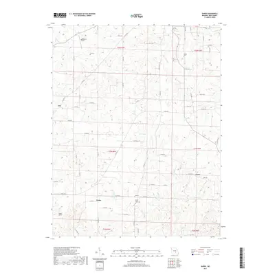
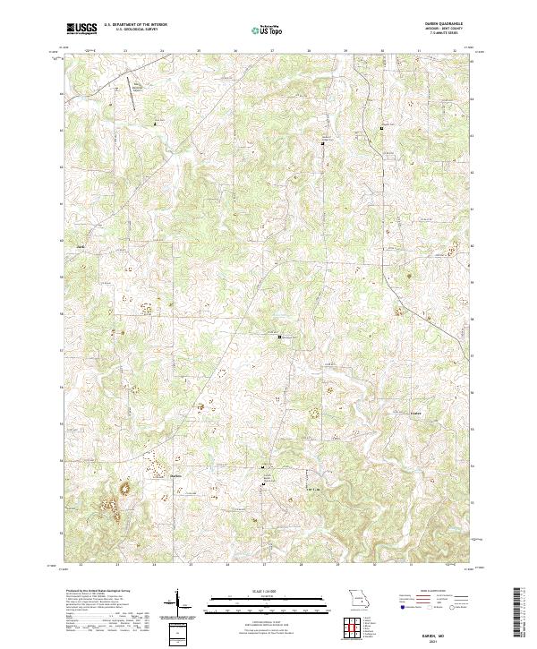
1981 Darien
Dent County, MO
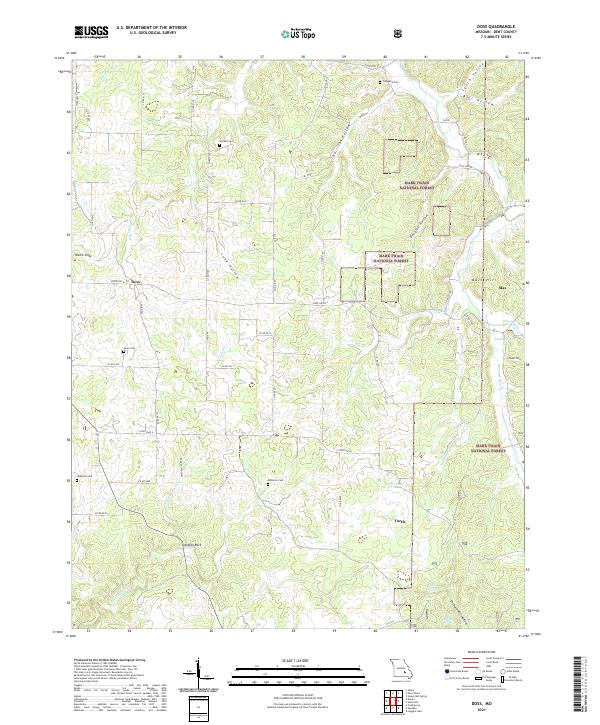
1981 Doss
Dent County, MO
1981 Howes Mill Spring
Dent County, MO
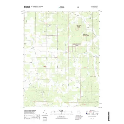
1981 Rhyse
Dent County, MO
1981 Short Bend
Dent County, MO
1981 Stone Hill
Dent County, MO

1992 Anutt
Dent County, MO
1992 Rhyse
Dent County, MO
1999 Howes Mill Spring
Dent County, MO
1999 Loggers Lake
Dent County, MO
1999 Stone Hill
Dent County, MO
1999 Viburnum West
Dent County, MO
2011 Anutt
Dent County, MO
2011 Cedargrove
Dent County, MO
2011 Darien
Dent County, MO
2011 Doss
Dent County, MO
2011 Gladden
Dent County, MO
2011 Montauk
Dent County, MO
2011 Rhyse
Dent County, MO
2011 Short Bend
Dent County, MO
2011 Viburnum West
Dent County, MO
2012 Howes Mill Spring
Dent County, MO
2012 Loggers Lake
Dent County, MO
2012 Stone Hill
Dent County, MO
2015 Anutt
Dent County, MO
2015 Cedargrove
Dent County, MO
2015 Darien
Dent County, MO
2015 Doss
Dent County, MO
2015 Gladden
Dent County, MO
2015 Howes Mill Spring
Dent County, MO
2015 Loggers Lake
Dent County, MO
2015 Montauk
Dent County, MO
2015 Rhyse
Dent County, MO
2015 Short Bend
Dent County, MO
2015 Stone Hill
Dent County, MO
2015 Viburnum West
Dent County, MO
2017 Anutt
Dent County, MO
2017 Cedargrove
Dent County, MO
2017 Darien
Dent County, MO
2017 Doss
Dent County, MO
2017 Gladden
Dent County, MO
2017 Howes Mill Spring
Dent County, MO
2017 Loggers Lake
Dent County, MO
2017 Montauk
Dent County, MO
2017 Rhyse
Dent County, MO
2017 Short Bend
Dent County, MO
2017 Stone Hill
Dent County, MO
2017 Viburnum West
Dent County, MO
2021 Anutt
Dent County, MO
2021 Cedargrove
Dent County, MO
2021 Darien
Dent County, MO
2021 Doss
Dent County, MO
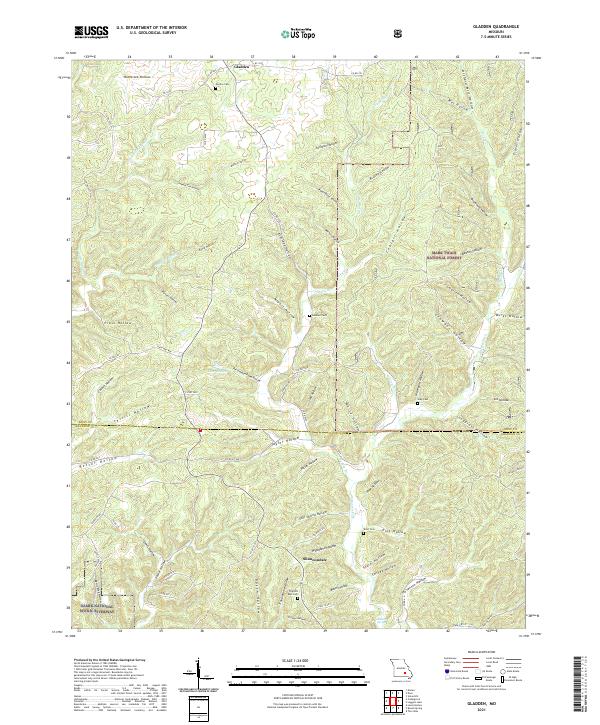
2021 Gladden
Dent County, MO
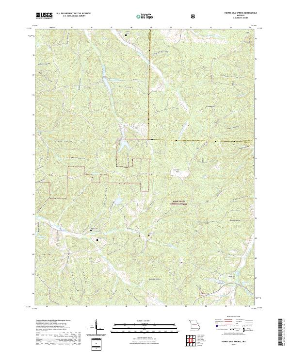
2021 Howes Mill Spring
Dent County, MO
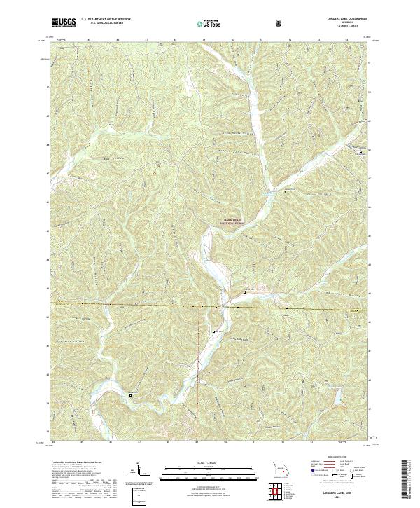
2021 Loggers Lake
Dent County, MO
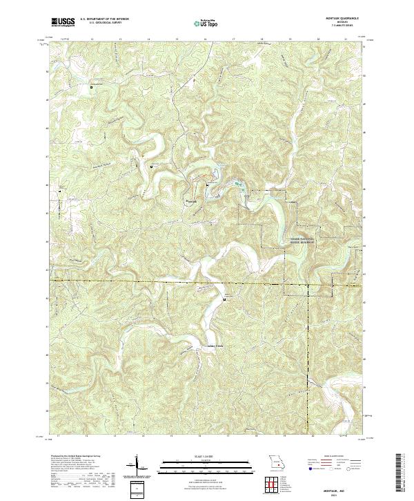
2021 Montauk
Dent County, MO
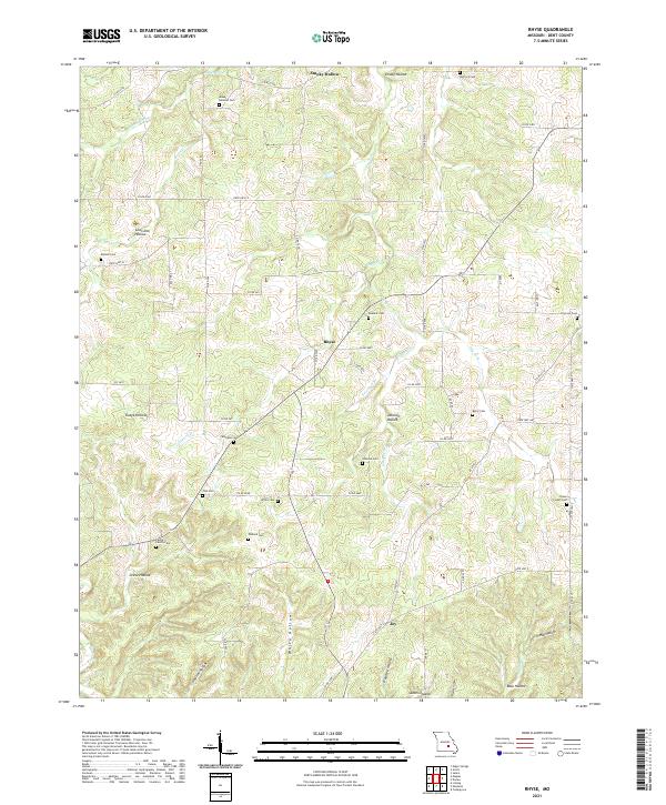
2021 Rhyse
Dent County, MO
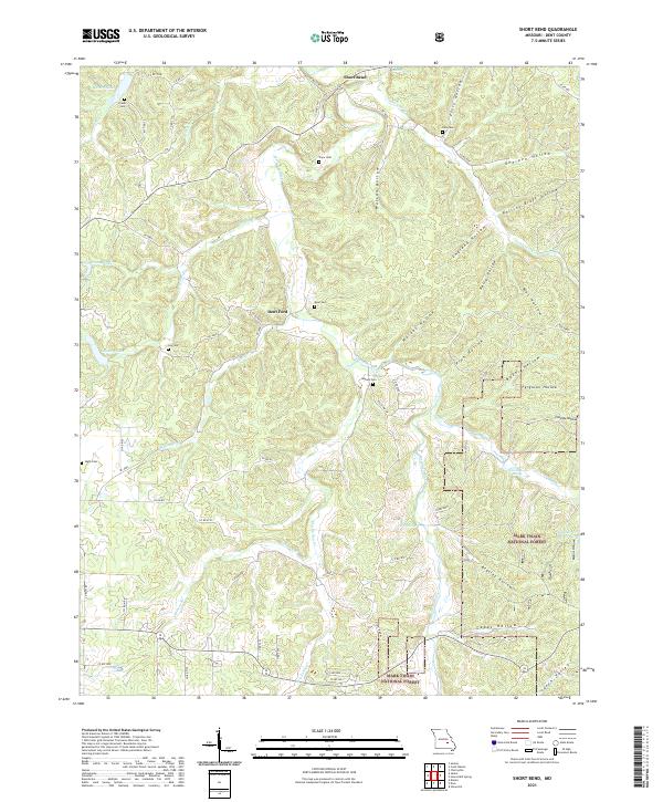
2021 Short Bend
Dent County, MO
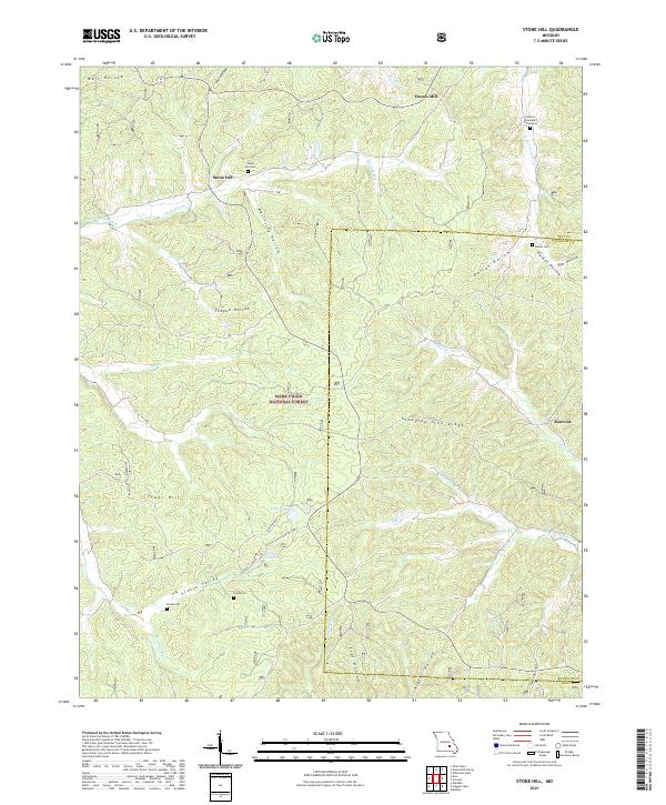
2021 Stone Hill
Dent County, MO
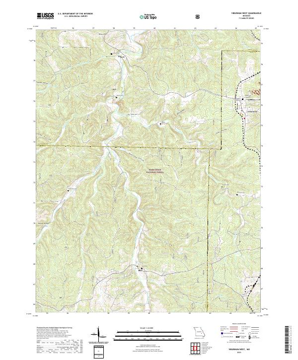
2021 Viburnum West
Dent County, MO