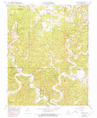
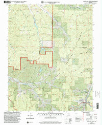
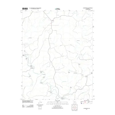
1951 Map of Cedargrove
USGS Topo · Published 1974About this map
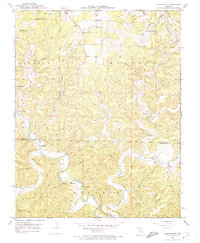
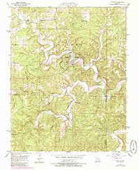
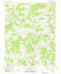
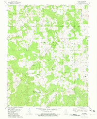
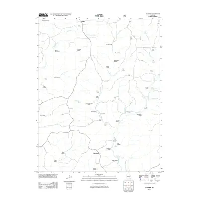
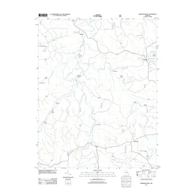
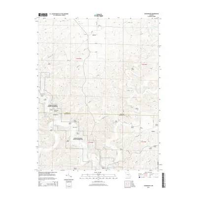
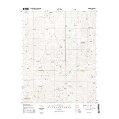
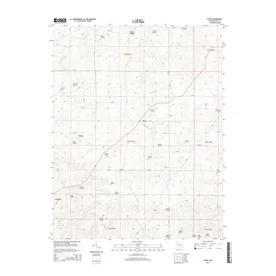
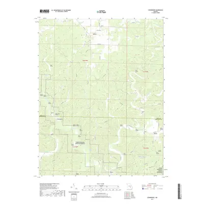
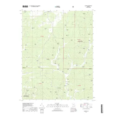
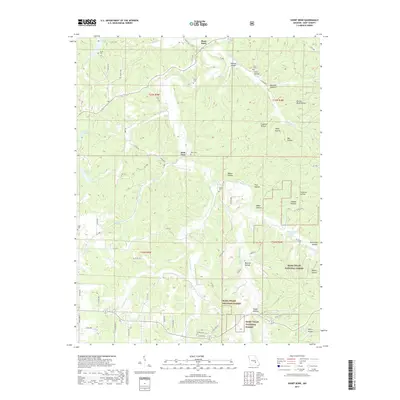
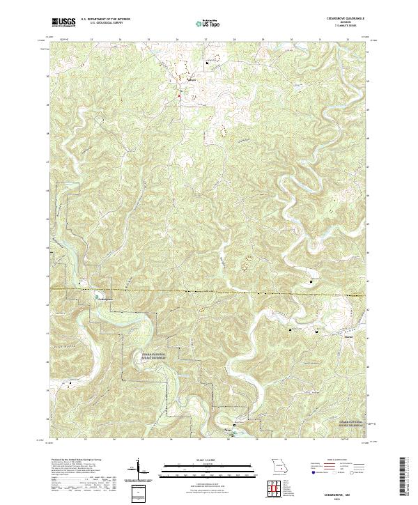
Current River drainage dominates the topography of this portion of the Ozarks as it appeared in the early 1950s. The settlement of Cedargrove sits at a low water crossing where the Big Creek joins the main river, serving as a focal point for a landscape defined by deep hollows like Parker Hollow and Coal Hollow. This area reflects a mid-century rural social structure, preserved here through numerous small school districts such as Upper Parker Sch, South Cross Roads Sch, and Jadwin Sch. To the south, the community of Rector is marked by the Rector Cem, while further downstream, the Akers area indicates the continued reliance on river access points and a Ferry for local transit. Notable natural landmarks like Welch Spring and Madlock Cave illustrate the karst geography common to the Jackson region along the Dent and Shannon county line.
Find a feature on this map
44 named features on this map. Tap any name to fly to it.
Don’t see what you’re looking for? This feature index may not catch every label — zoom into the map to look around manually.
Map Details
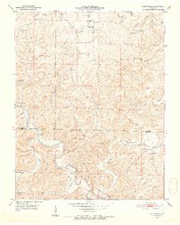
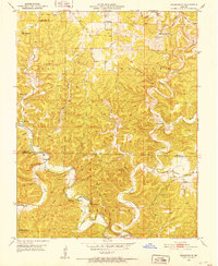
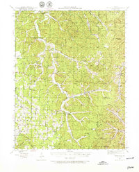
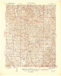
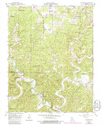
Editions of this 1951 Cedargrove Map
6 editions found
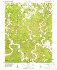
Historical Maps of Cedargrove Through Time
68 maps found
1941 Stone Hill
Dent County, MO
1945 Stone Hill
Dent County, MO
1951 Cedargrove
Dent County, MO
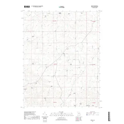
1951 Montauk
Dent County, MO
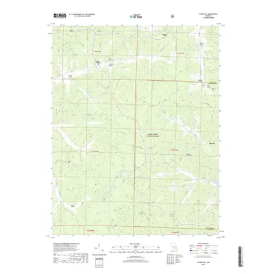
1967 Gladden
Dent County, MO
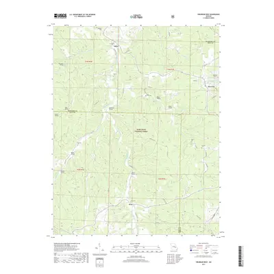
1967 Loggers Lake
Dent County, MO
1967 Viburnum West
Dent County, MO
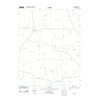
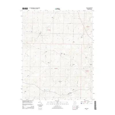
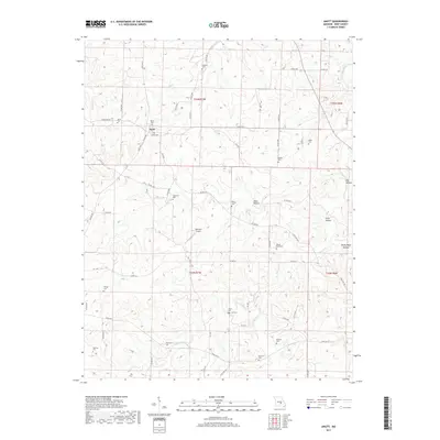
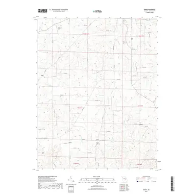
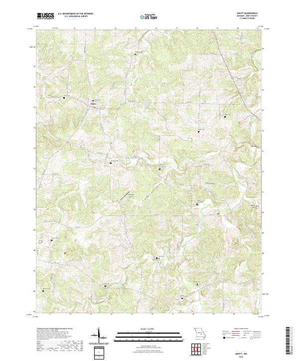
1981 Anutt
Dent County, MO
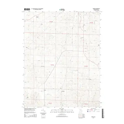
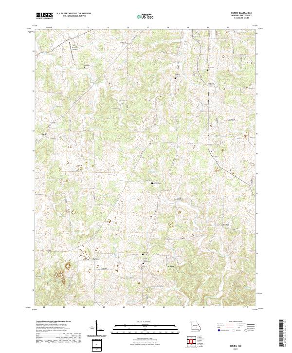
1981 Darien
Dent County, MO
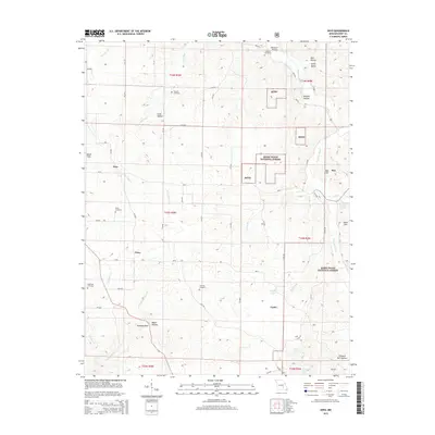
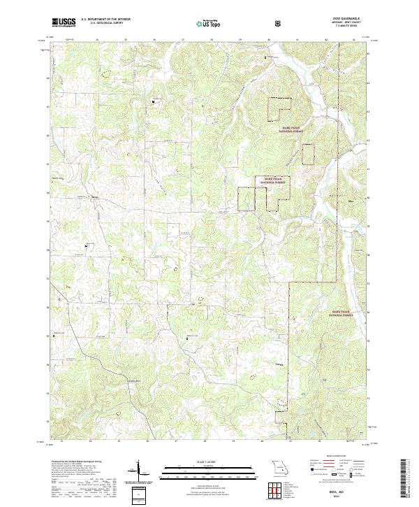
1981 Doss
Dent County, MO
1981 Howes Mill Spring
Dent County, MO
1981 Rhyse
Dent County, MO
1981 Short Bend
Dent County, MO
1981 Stone Hill
Dent County, MO

1992 Anutt
Dent County, MO
1992 Rhyse
Dent County, MO
1999 Howes Mill Spring
Dent County, MO
1999 Loggers Lake
Dent County, MO
1999 Stone Hill
Dent County, MO
1999 Viburnum West
Dent County, MO
2011 Anutt
Dent County, MO
2011 Cedargrove
Dent County, MO
2011 Darien
Dent County, MO
2011 Doss
Dent County, MO
2011 Gladden
Dent County, MO
2011 Montauk
Dent County, MO
2011 Rhyse
Dent County, MO
2011 Short Bend
Dent County, MO
2011 Viburnum West
Dent County, MO
2012 Howes Mill Spring
Dent County, MO
2012 Loggers Lake
Dent County, MO
2012 Stone Hill
Dent County, MO
2015 Anutt
Dent County, MO
2015 Cedargrove
Dent County, MO
2015 Darien
Dent County, MO
2015 Doss
Dent County, MO
2015 Gladden
Dent County, MO
2015 Howes Mill Spring
Dent County, MO
2015 Loggers Lake
Dent County, MO
2015 Montauk
Dent County, MO
2015 Rhyse
Dent County, MO
2015 Short Bend
Dent County, MO
2015 Stone Hill
Dent County, MO
2015 Viburnum West
Dent County, MO
2017 Anutt
Dent County, MO
2017 Cedargrove
Dent County, MO
2017 Darien
Dent County, MO
2017 Doss
Dent County, MO
2017 Gladden
Dent County, MO
2017 Howes Mill Spring
Dent County, MO
2017 Loggers Lake
Dent County, MO
2017 Montauk
Dent County, MO
2017 Rhyse
Dent County, MO
2017 Short Bend
Dent County, MO
2017 Stone Hill
Dent County, MO
2017 Viburnum West
Dent County, MO
2021 Anutt
Dent County, MO
2021 Cedargrove
Dent County, MO
2021 Darien
Dent County, MO
2021 Doss
Dent County, MO
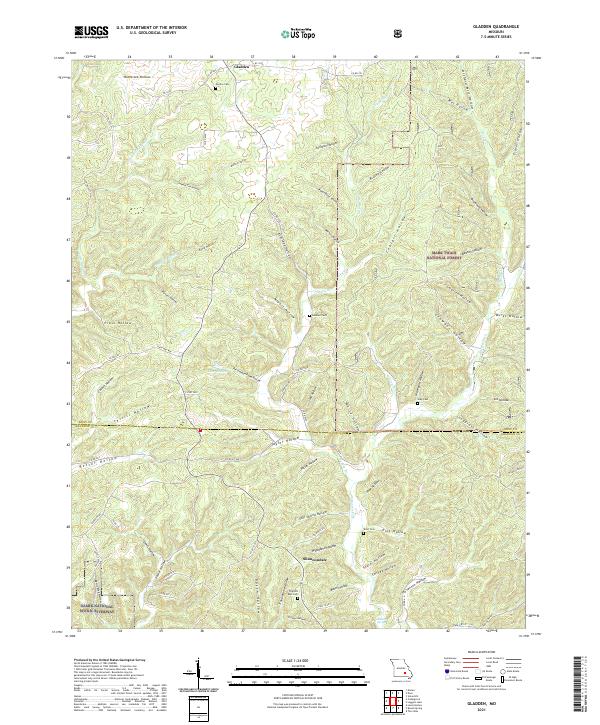
2021 Gladden
Dent County, MO
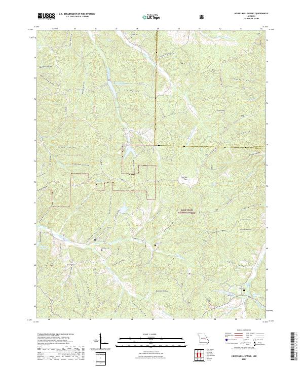
2021 Howes Mill Spring
Dent County, MO
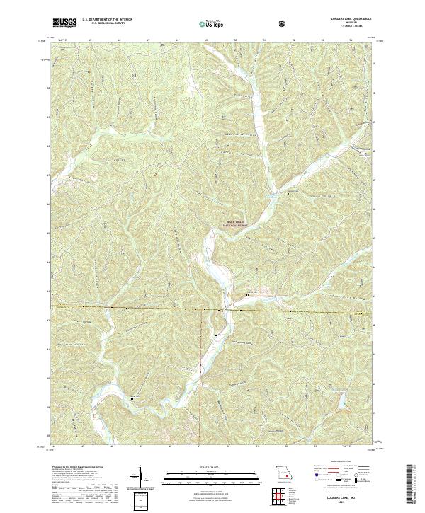
2021 Loggers Lake
Dent County, MO
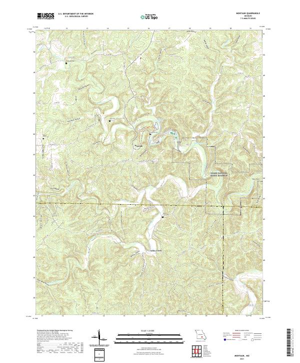
2021 Montauk
Dent County, MO
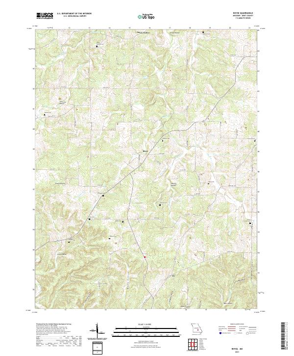
2021 Rhyse
Dent County, MO
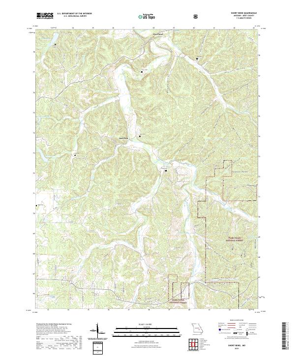
2021 Short Bend
Dent County, MO
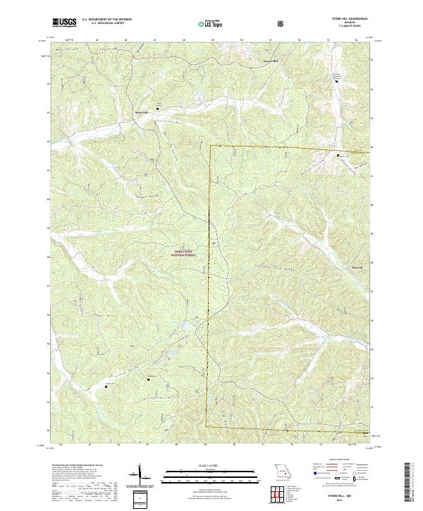
2021 Stone Hill
Dent County, MO
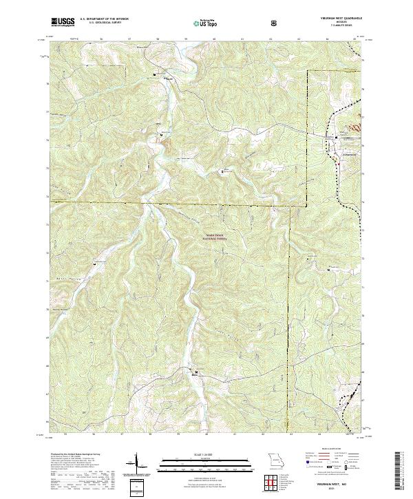
2021 Viburnum West
Dent County, MO