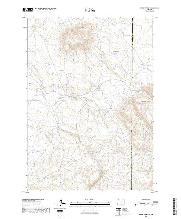
2023 Map of Round Top Butte
USGS Topo · Published 2023About this map
Round Top Butte serves as the dominant landmark of this high-desert landscape on the border of Lake and Harney Counties. The drainage patterns of Lost Creek illustrate the unique hydrology of the Oregon interior, where seasonal waters flow toward the Sinks of Lost Creek rather than reaching a traditional river system. This arid region is marked by vital water sources such as Dolton Spring, Skookum Spring, and Bradley Spring, which sustained cattle ranching and migration through the sagebrush plains. A network of small-scale water management is evident in the presence of the North Sheep Mountain Reservoir and West Sheep Mountain Reservoir, alongside the aptly named Pasture Lake. The terrain transitions from the volcanic prominence of the butte into the distinct topographical feature of Hay Lk Deep Valley, while Big Stick Rd provides the primary transit route through the eastern slopes of Sheep Mtn.
Find a feature on this map
20 named features on this map. Tap any name to fly to it.
Don’t see what you’re looking for? This feature index may not catch every label — zoom into the map to look around manually.
Map Details
Editions of this 2023 Round Top Butte Map
This is the sole edition of this map. No revisions or reprints were ever made.
Other maps of this area

1955 · Crescent
USGS Topo · 1:250,000

1955 · Burns
USGS Topo · 1:250,000

1957 · Crescent
USGS Topo · 1:250,000

1958 · Crescent
USGS Topo · 1:250,000

1958 · Burns
USGS Topo · 1:250,000

1959 · Burns
USGS Topo · 1:250,000

1970 · Crescent
USGS Topo · 1:250,000

1980 · Wagontire Mtn West
USGS Topo · 1:24,000

1980 · Round Top Butte
USGS Topo · 1:24,000

1980 · Hay Lake
USGS Topo · 1:24,000