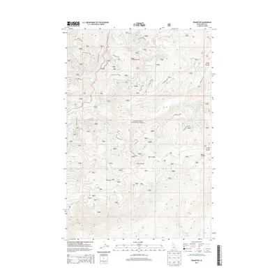
2013 Map of Roundtop
USGS Topo · Published 2013About this map
Clearwater National Forest dominates this Idaho County terrain, where the high mountain geography is defined by the prominent Beaver Ridge and the Roundtop elevation. This 2013 survey documents a remote landscape managed for forestry and recreation, centered on a complex drainage network that includes the Crooked Fork, Brushy Fork, and Beaver Creek. The map shows the infrastructure of the forest service, tracing numerous access routes such as the Beaver Ridge Rd 369 and various National Forest Development Roads. Small-scale features like the Glade Creek Camp and the naturally open Beaver Meadows provide specific points of interest for those tracking historical land use or backcountry access in this part of the Bitterroot range. The survey reflects a modern era of forest management where the primary markers of human presence are these specialized road networks and primitive campsites.
Find a feature on this map
31 named features on this map. Tap any name to fly to it.
Don’t see what you’re looking for? This feature index may not catch every label — zoom into the map to look around manually.
Map Details
Editions of this 2013 Roundtop Map
This is the sole edition of this map. No revisions or reprints were ever made.
Other maps of this area

1901 · Hamilton
USGS Topo · 1:125,000

1911 · Lolo
USGS Topo · 1:250,000

1912 · Missoula
USGS Topo · 1:125,000

1913 · Lolo
USGS Topo · 1:250,000

1956 · Hamilton
USGS Topo · 1:250,000

1959 · Hamilton
USGS Topo · 1:250,000

1960 · Hamilton
USGS Topo · 1:250,000

1964 · Hamilton
USGS Topo · 1:250,000

1964 · Lolo Hot Springs
USGS Topo · 1:24,000

1964 · West Fork Butte
USGS Topo · 1:24,000