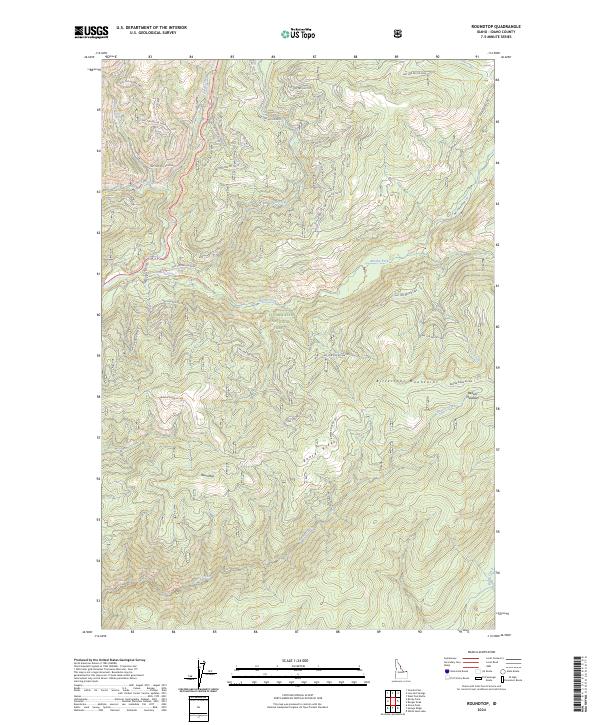
2024 Map of Roundtop
USGS Topo · Published 2024About this map
The Bitterroot Mountains define this high-elevation Idaho landscape, where the Clearwater National Forest meets the northern reaches of the Selway-Bitterroot Wilderness. The terrain is characterized by a complex network of ridgelines and watercourses, including the prominent Beaver Ridge and the peak at Roundtop. This area serves as a significant drainage basin, with the Brushy Fork and Crooked Fork of the Lochsa River system carving deep through the forest. Numerous forest development roads and primitive trails, such as the Brushy Fork Trl and Beaver Ridge Rd 369, provide the only access through this backcountry. The map also records localized landmarks like Beaver Meadows and several small tributaries including Haskell Creek and Storm Creek, illustrating a landscape managed for wilderness preservation and forestry.
Find a feature on this map
37 named features on this map. Tap any name to fly to it.
Don’t see what you’re looking for? This feature index may not catch every label — zoom into the map to look around manually.
Map Details
Editions of this 2024 Roundtop Map
This is the sole edition of this map. No revisions or reprints were ever made.
Other maps of this area

1901 · Hamilton
USGS Topo · 1:125,000

1911 · Lolo
USGS Topo · 1:250,000

1912 · Missoula
USGS Topo · 1:125,000

1913 · Lolo
USGS Topo · 1:250,000

1956 · Hamilton
USGS Topo · 1:250,000

1959 · Hamilton
USGS Topo · 1:250,000

1960 · Hamilton
USGS Topo · 1:250,000

1964 · Hamilton
USGS Topo · 1:250,000

1964 · Lolo Hot Springs
USGS Topo · 1:24,000

1964 · West Fork Butte
USGS Topo · 1:24,000