2024 Map of Rouses Point OE N
USGS Topo · Published 2024About this map
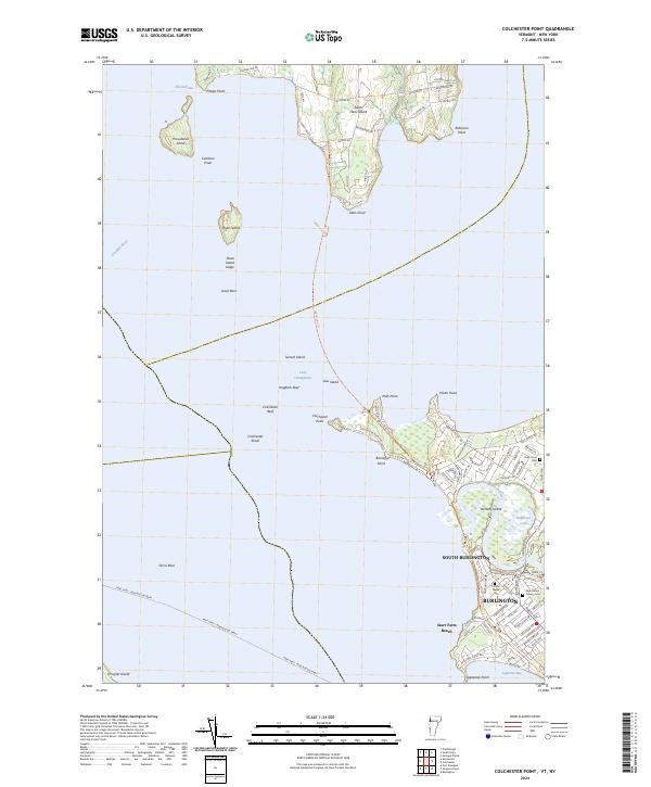
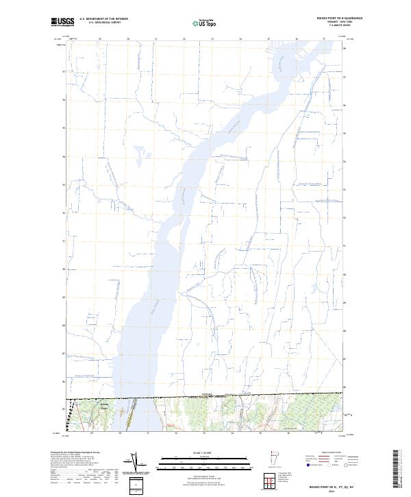
The Rivière Richelieu (also labeled here as the Richelieu River) dominates this borderland landscape, flowing northward across the international boundary between the United States and Canada. Situated at the junction of New York and Vermont, the village of Rouses Point serves as a critical point of entry where the waters of Lake Champlain transition into the river system. The northern portion of the map, located within Quebec, is defined by an intricate network of drainage streams and concessions, including Ruisseau Faddentown, Ruisseau Young-Walte, and Ruisseau Mosher-Daignault.
Find a feature on this map
34 named features on this map. Tap any name to fly to it.
Don’t see what you’re looking for? This feature index may not catch every label — zoom into the map to look around manually.
Map Details
Editions of this 2024 Rouses Point OE N Map
This is the sole edition of this map. No revisions or reprints were ever made.
Historical Maps of Alburgh Through Time
6 maps found