Loading...
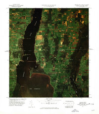
Loading map...1977 Map of Rouses Point Port Of Entry
USGS Topo · Published 1978About this map
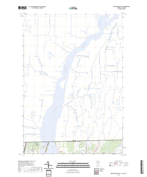
Rivière Richelieu flows north from Lake Champlain in this 1970s color image map, defining a landscape of international transit and military history. At the narrow junction where the lake meets the river, the Fort Montgomery Ruins stand as a reminder of border fortifications on Windmill Point. The village of Rouses Point serves as a critical hub on the western shore, connected to the Vermont side by the Rouses Point Bridge.
Find a feature on this map
31 named features on this map. Tap any name to fly to it.
Don’t see what you’re looking for? This feature index may not catch every label — zoom into the map to look around manually.
Map Details
Date Portrayed1977
Date Published1978
PublisherU.S. Geological Survey
Map TypeTopographic
Scale1:25000
Physical Dimensions19.3 x 22.3 inches
Editions of this 1977 Rouses Point Port Of Entry Map
This is the sole edition of this map. No revisions or reprints were ever made.
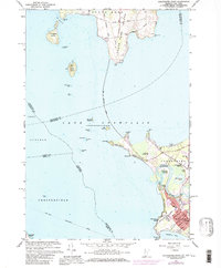
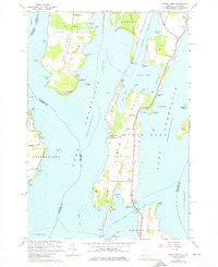
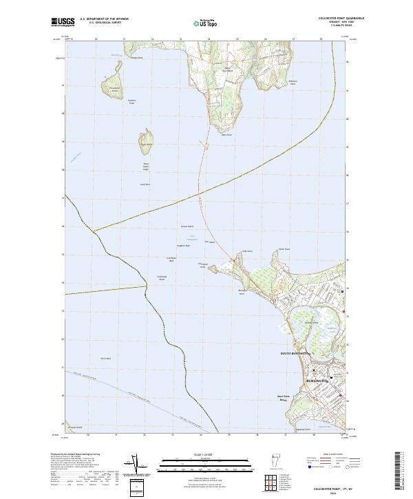
Historical Maps of Champlain Through Time
6 maps found
Featured Locations
Source Details
SourceU.S. Geological Survey
CopyrightPublic Domain