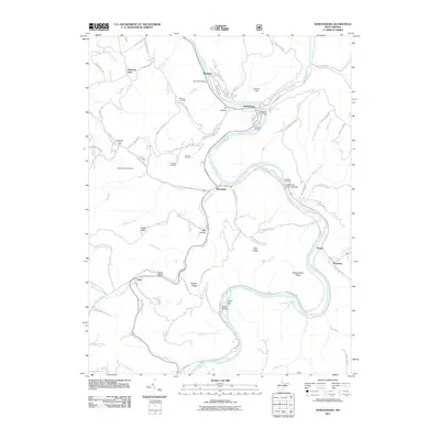
2011 Map of Rowlesburg
USGS Topo · Published 2011About this map
The Cheat River winds through the heart of this Preston County landscape, dictating the development of the valley’s transportation and settlement patterns. At Rowlesburg, the rail and river connection is emphasized by the Rowlesburg Post Office and nearby Riverview Cemetery, while the engineering of the era is represented by the Tray Run Viaduct to the north and the Cheat River Covered Bridge downstream near Macomber.
Find a feature on this map
87 named features on this map. Tap any name to fly to it.
Don’t see what you’re looking for? This feature index may not catch every label — zoom into the map to look around manually.
Map Details
Editions of this 2011 Rowlesburg Map
This is the sole edition of this map. No revisions or reprints were ever made.
Other maps of this area

1886 · St. George
USGS Topo · 1:125,000

1891 · St. George
USGS Topo · 1:125,000

1907 · Thornton
USGS Topo · 1:62,500

1907 · Kingwood
USGS Topo · 1:62,500

1907 · Belington
USGS Topo · 1:62,500

1908 · Parsons
USGS Topo · 1:62,500

1925 · Kingwood
USGS Topo · 1:62,500

1926 · Thornton
USGS Topo · 1:62,500

1926 · Parsons
USGS Topo · 1:62,500

1927 · Belington
USGS Topo · 1:62,500