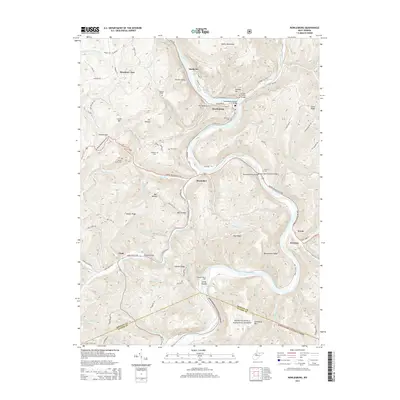
2014 Map of Rowlesburg
USGS Topo · Published 2014About this map
Rowlesburg sits at a critical bend of the Cheat River, where the landscape is defined by steep ridges and complex infrastructure designed to navigate the deep mountain valleys. This 2014 survey highlights the area's transportation heritage through several notable spans, including the Tray Run Viaduct and the Macomber Truss Bridge, alongside the Cheat River Covered Bridge. The map details a series of small riverside and mountain settlements such as Manheim, Macomber, and Etam, often clustered near significant terrain features like Cannon Hill and Briery Mountains.
Find a feature on this map
96 named features on this map. Tap any name to fly to it.
Don’t see what you’re looking for? This feature index may not catch every label — zoom into the map to look around manually.
Map Details
Editions of this 2014 Rowlesburg Map
This is the sole edition of this map. No revisions or reprints were ever made.
Other maps of this area

1886 · St. George
USGS Topo · 1:125,000

1891 · St. George
USGS Topo · 1:125,000

1907 · Thornton
USGS Topo · 1:62,500

1907 · Kingwood
USGS Topo · 1:62,500

1907 · Belington
USGS Topo · 1:62,500

1908 · Parsons
USGS Topo · 1:62,500

1925 · Kingwood
USGS Topo · 1:62,500

1926 · Thornton
USGS Topo · 1:62,500

1926 · Parsons
USGS Topo · 1:62,500

1927 · Belington
USGS Topo · 1:62,500