2023 Map of Rowlesburg
USGS Topo · Published 2023About this map
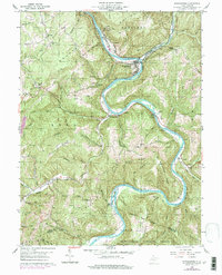
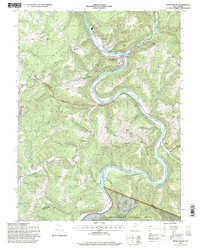
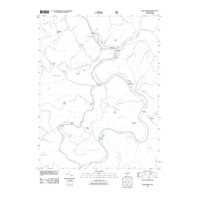
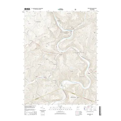
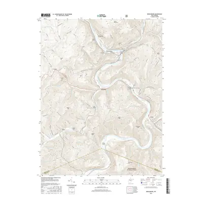
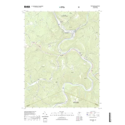
Rowlesburg sits at a sharp oxbow of the Cheat River, where the CSX railroad tracks wind through the steep mountain gaps of the Briery Mountains and Laurel Mountain. This 2023 survey illustrates a landscape defined by its river-and-rail geography, with the Upper Cheat River Water Trl following the waterway's descent. Small communities like Manheim, Macomber, and Erwin are linked by the winding paths of US Rte 50 and Co Rte 72. Local family history is preserved in scattered hillside burial grounds, including Riverview Cem, Deakins Cem, and Sanders Cem. To the south, the terrain becomes increasingly complex around Seven Islands and the northern reaches of the Monongahela National Forest, where high ridges like Sinclair Ridge and High Ridge rise above the drainage of Buffalo Creek and Wildcat Run.
Find a feature on this map
104 named features on this map. Tap any name to fly to it.
Don’t see what you’re looking for? This feature index may not catch every label — zoom into the map to look around manually.
Map Details
Editions of this 2023 Rowlesburg Map
This is the sole edition of this map. No revisions or reprints were ever made.
Historical Maps of Rowlesburg Through Time
7 maps found