Loading...
Loading map...2022 Map of Rowlett
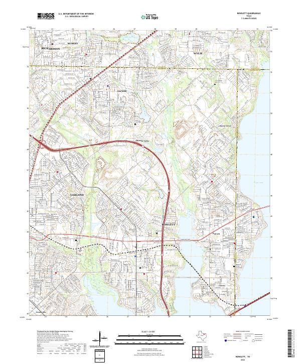
USGS Topo · Published 2022About this map
Rowlett and its neighboring communities in Dallas, Collin, and Rockwall counties are captured here in a period of significant suburban density. The landscape is defined by the winding course of Rowlett Cr and Muddy Cr, which flow south toward the expansive waters of Lake Ray Hubbard, though only the northern reaches like Corder Lake are named here. Smaller drainages such as Maxwell Creek and Cottonwood Cr intersect the residential grids of Sachse, Wylie, and Murphy.
Find a feature on this map
35 named features on this map. Tap any name to fly to it.
Don’t see what you’re looking for? This feature index may not catch every label — zoom into the map to look around manually.
Map Details
Date Portrayed2022
Date Published2022
PublisherU.S. Geological Survey
Map TypeTopographic
Scale1:24000
Physical Dimensions24 x 29 inches
Editions of this 2022 Rowlett Map
This is the sole edition of this map. No revisions or reprints were ever made.
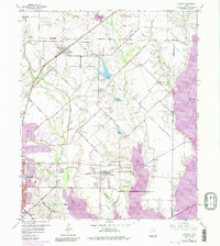
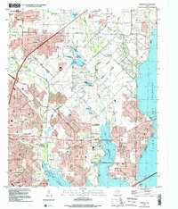
Historical Maps of Murphy Through Time
Featured Locations
Source Details
SourceU.S. Geological Survey
CopyrightPublic Domain