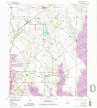
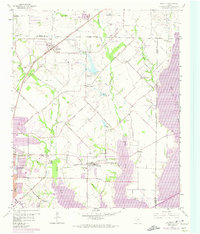
1959 Map of Rowlett
USGS Topo · Published 1984About this map
Lake Ray Hubbard and the East Fork Trinity River dominate the eastern reaches of this Texas landscape, illustrating the critical role of water management in the region's mid-century development. The map details a period of transition where agricultural roots meet expanding suburban footprints near Garland and Rowlett. Notable rural centers such as Pleasant Valley and Liberty Grove are shown with their community focal points, including Pleasant Valley Cem and Big A Cem.
Find a feature on this map
42 named features on this map. Tap any name to fly to it.
Don’t see what you’re looking for? This feature index may not catch every label — zoom into the map to look around manually.
Map Details
Editions of this 1959 Rowlett Map
6 editions found
Other maps of this area

1891 · Dallas
USGS Topo · 1:125,000

1893 · Dallas
USGS Topo · 1:125,000

1912 · Rockwall
USGS Topo · 1:31,680

1919 · Royse City
USGS Topo · 1:62,500

1924 · Farmersville 3-c
USGS Topo · 1:48,000

1924 · Mc Kinney 4-d
USGS Topo · 1:48,000

1929 · McKinney
USGS Topo · 1:62,500

1930 · Farmersville
USGS Topo · 1:62,500

1954 · Dallas
USGS Topo · 1:250,000

1954 · Sherman
USGS Topo · 1:250,000