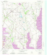
1959 Map of Rowlett
USGS Topo · Published 1984About this map
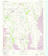
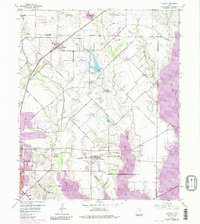
Lake Ray Hubbard dominates the eastern and southern reaches of this landscape, a massive reservoir that altered the drainage of Muddy Creek and the East Fork Trinity River. Originally surveyed in 1959, this edition includes later revisions that reveal the dramatic expansion of the lake over former bottomlands. The settlement of Rowlett sits at the junction of the Missouri Kansas and Texas railroad and several regional arteries like Miller Road. To the north, smaller communities like Pleasant Valley and Liberty Grove maintain a more rural character, anchored by landmarks such as the Pleasant Valley Cem and Cottonwood Ch. The transition from the rural outskirts of Garland toward the encroaching water reflects the mid-century transformation of Dallas and Collin counties. For genealogists, the map is a primary source for local burials, documenting sites like Mills Cem, Garland Cem, and the remote McShan Cem.
Find a feature on this map
47 named features on this map. Tap any name to fly to it.
Don’t see what you’re looking for? This feature index may not catch every label — zoom into the map to look around manually.
Map Details
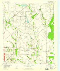
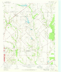
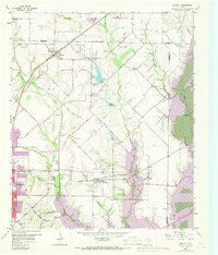
Editions of this 1959 Rowlett Map
6 editions found
Other maps of this area

1891 · Dallas
USGS Topo · 1:125,000

1893 · Dallas
USGS Topo · 1:125,000

1912 · Rockwall
USGS Topo · 1:31,680

1919 · Royse City
USGS Topo · 1:62,500

1924 · Farmersville 3-c
USGS Topo · 1:48,000

1924 · Mc Kinney 4-d
USGS Topo · 1:48,000

1929 · McKinney
USGS Topo · 1:62,500

1930 · Farmersville
USGS Topo · 1:62,500

1954 · Dallas
USGS Topo · 1:250,000

1954 · Sherman
USGS Topo · 1:250,000