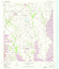
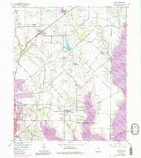
1959 Map of Rowlett
USGS Topo · Published 1974About this map
Lake Ray Hubbard dominates the eastern half of this 1959 survey, showing the expanded shoreline as of the early 1970s following its creation. The map captures a period of significant growth for Rowlett and Sachse as the Dallas-Fort Worth metroplex began to push northeastward. Transportation corridors like the Atchison Topeka And Santa Fe and the Missouri Kansas Texas railroads are clearly marked, alongside old local roads such as Damascus Road and Pleasant Valley Road.
Find a feature on this map
50 named features on this map. Tap any name to fly to it.
Don’t see what you’re looking for? This feature index may not catch every label — zoom into the map to look around manually.
Map Details
Editions of this 1959 Rowlett Map
6 editions found
Other maps of this area

1891 · Dallas
USGS Topo · 1:125,000

1893 · Dallas
USGS Topo · 1:125,000

1912 · Rockwall
USGS Topo · 1:31,680

1919 · Royse City
USGS Topo · 1:62,500

1924 · Farmersville 3-c
USGS Topo · 1:48,000

1924 · Mc Kinney 4-d
USGS Topo · 1:48,000

1929 · McKinney
USGS Topo · 1:62,500

1930 · Farmersville
USGS Topo · 1:62,500

1954 · Dallas
USGS Topo · 1:250,000

1954 · Sherman
USGS Topo · 1:250,000