
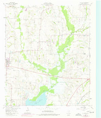
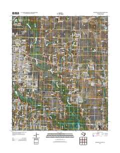
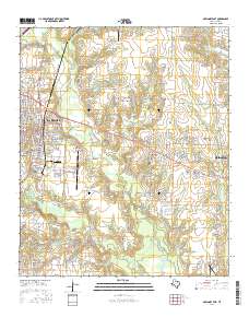
1924 Map of Mc Kinney 4-d
USGS Topo · Published 1924About this map
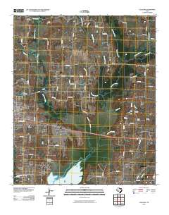
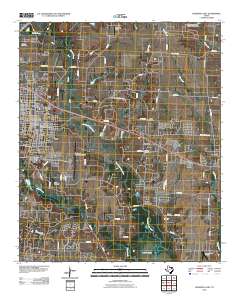
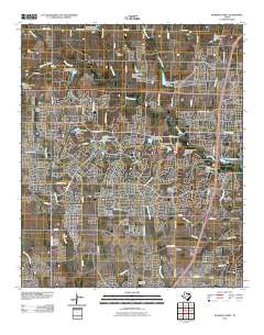
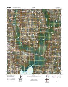
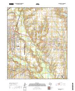
Wylie stands as a primary rail hub in southern Collin County, situated at the junction of the Gulf Colorado and Santa Fe and the St. Louis Southwestern railroads. This 1924 survey reveals a landscape of small agricultural communities and family-named landmarks, where the East Fork Trinity River and its tributaries, such as White Rock Creek and Wilson Cr, dictate the movement of commerce and travel. The density of rural education is a striking feature of this era, with numerous neighborhood institutions like Morris School, Winninkoff School, and Lovejoy School serving the surrounding farms.
Find a feature on this map
20 named features on this map. Tap any name to fly to it.
Don’t see what you’re looking for? This feature index may not catch every label — zoom into the map to look around manually.
Map Details
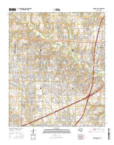
Editions of this 1924 Mc Kinney 4-d Map
This is the sole edition of this map. No revisions or reprints were ever made.
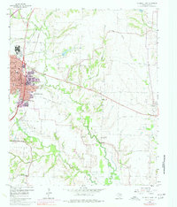
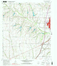
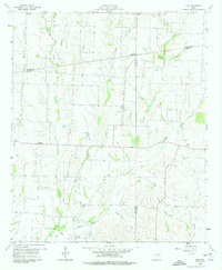
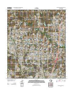
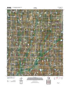
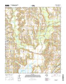
Historical Maps of Plano Through Time
26 maps found

1924 Farmersville 3-c
Collin County, TX
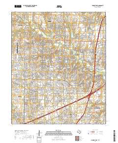
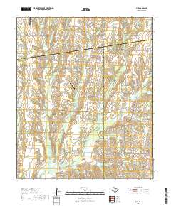
1924 Mc Kinney 4-d
Collin County, TX
1960 Culleoka
Collin County, TX
1960 McKinney East
Collin County, TX
1960 McKinney West
Collin County, TX
1960 Pike
Collin County, TX
2010 Culleoka
Collin County, TX
2010 McKinney East
Collin County, TX
2010 McKinney West
Collin County, TX

2010 Pike
Collin County, TX
2013 Culleoka
Collin County, TX
2013 McKinney East
Collin County, TX
2013 McKinney West
Collin County, TX
2013 Pike
Collin County, TX
2016 Culleoka
Collin County, TX
2016 McKinney East
Collin County, TX
2016 McKinney West
Collin County, TX
2016 Pike
Collin County, TX
2019 Culleoka
Collin County, TX
2019 McKinney East
Collin County, TX
2019 McKinney West
Collin County, TX
2019 Pike
Collin County, TX
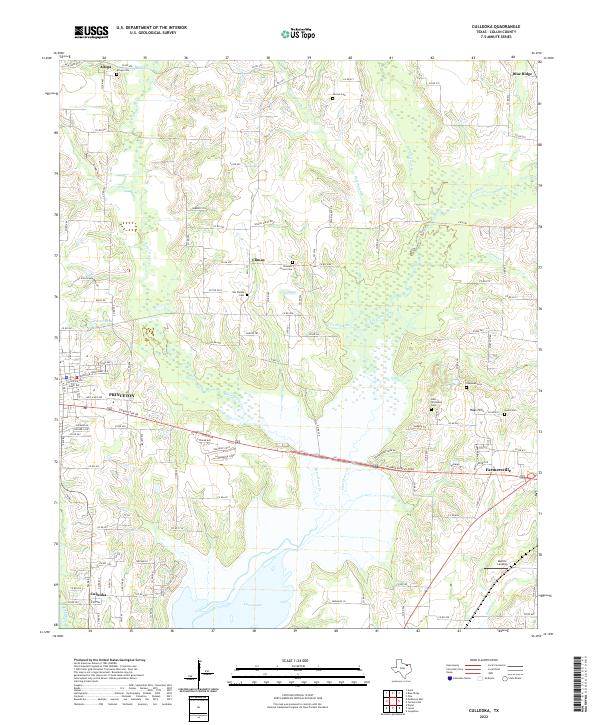
2022 Culleoka
Collin County, TX
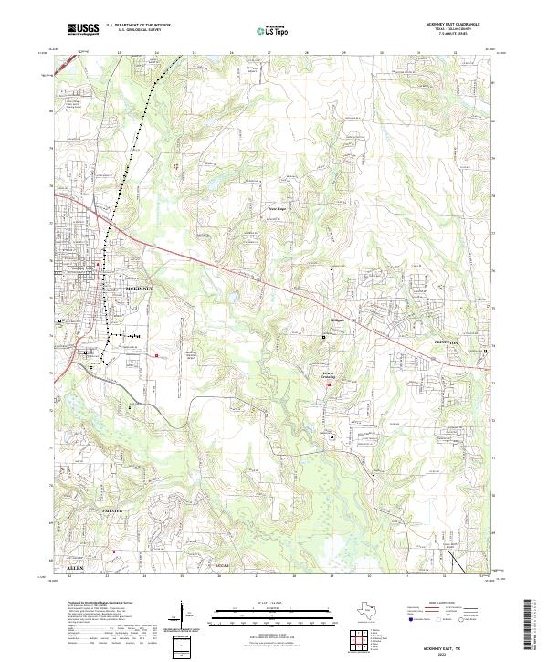
2022 McKinney East
Collin County, TX
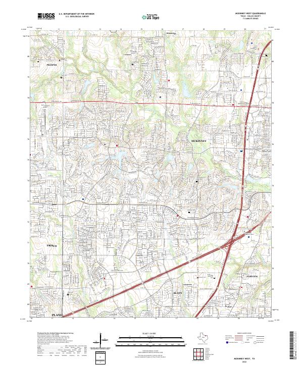
2022 McKinney West
Collin County, TX
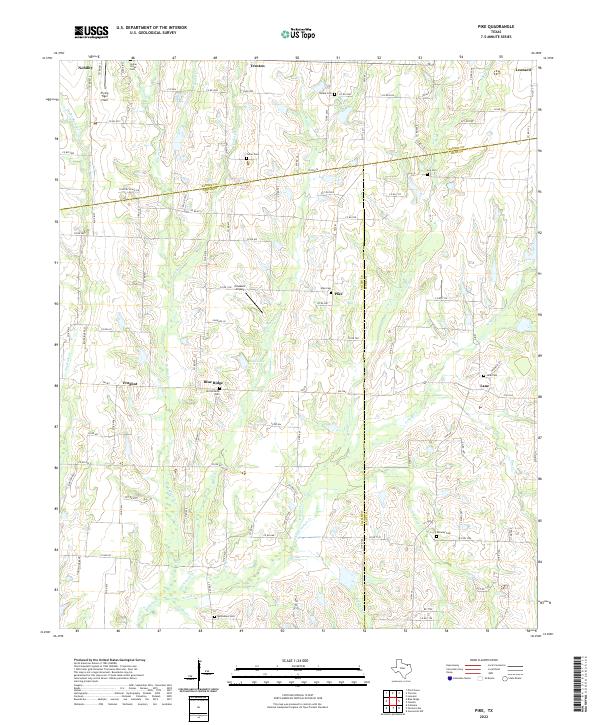
2022 Pike
Collin County, TX