1960 Map of Pike
USGS Topo · Published 1976About this map
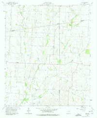
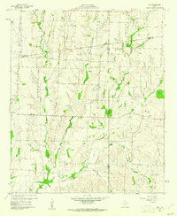
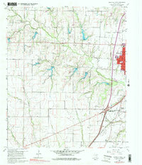
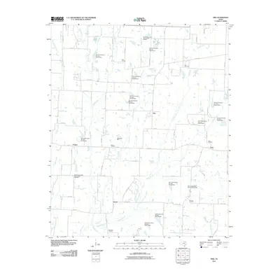
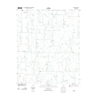
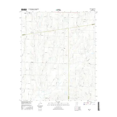
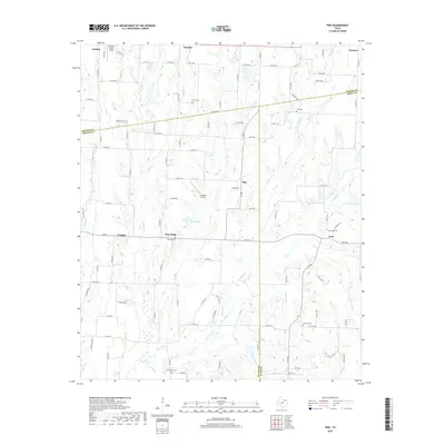
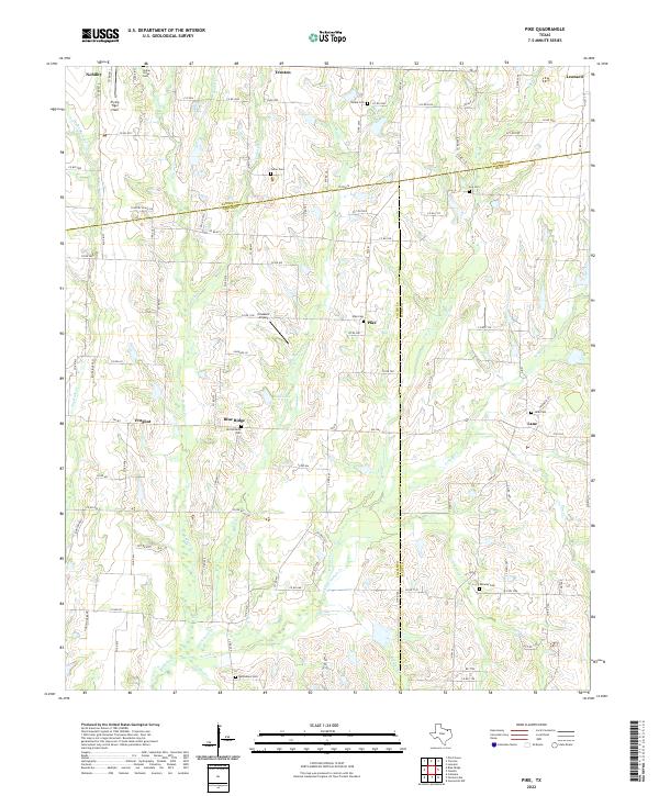
Agricultural lands at the intersection of Collin, Fannin, and Hunt Counties define this rural landscape as it appeared in the mid-twentieth century. The area is anchored by small, dispersed settlements like Pike, Frognot, and Nobility, which are connected by a network of local roads and farm-to-market routes. The terrain is deeply etched by a complex drainage system including Indian Creek, Bear Creek, and the curiously named Pot Rack Creek.
Find a feature on this map
31 named features on this map. Tap any name to fly to it.
Don’t see what you’re looking for? This feature index may not catch every label — zoom into the map to look around manually.
Map Details
Editions of this 1960 Pike Map
2 editions found
Historical Maps of Leonard Through Time
26 maps found

1924 Farmersville 3-c
Collin County, TX

1924 Mc Kinney 4-d
Collin County, TX
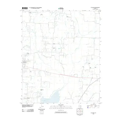
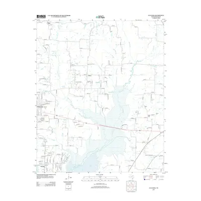
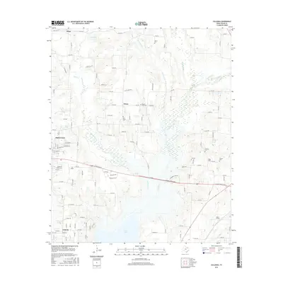
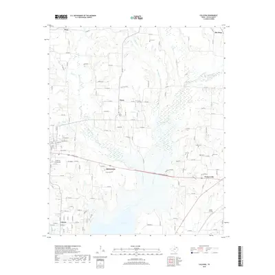
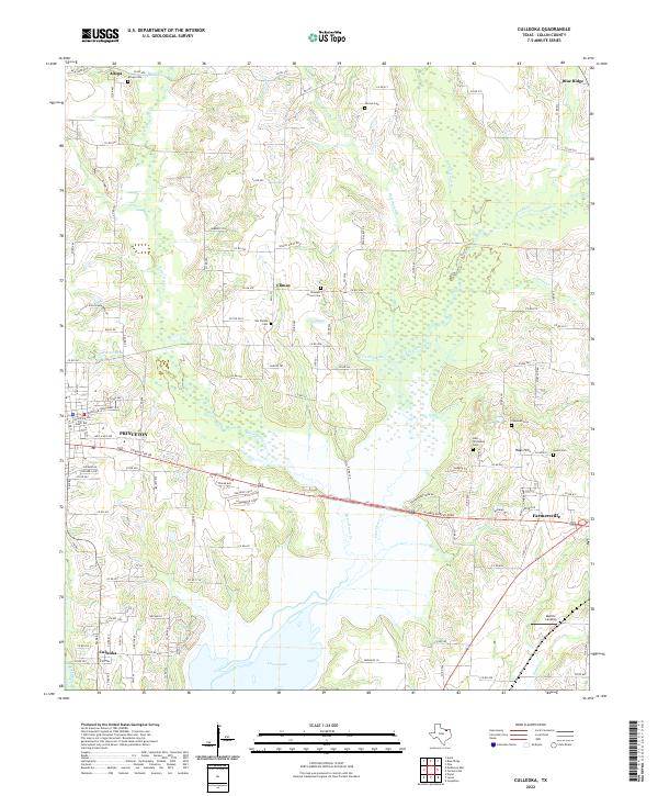
1960 Culleoka
Collin County, TX
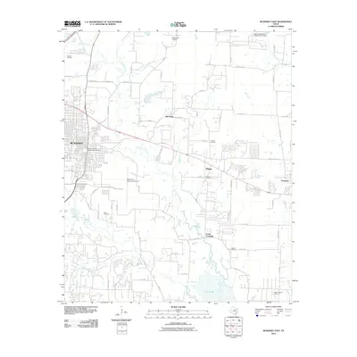
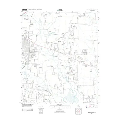
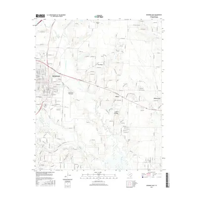
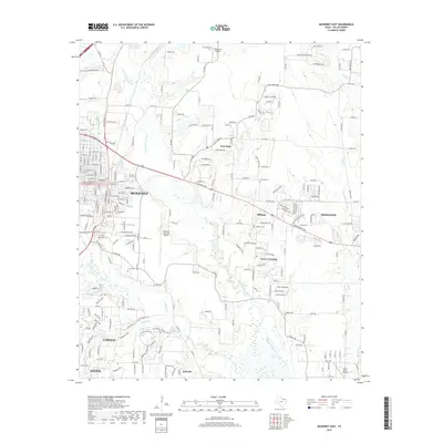
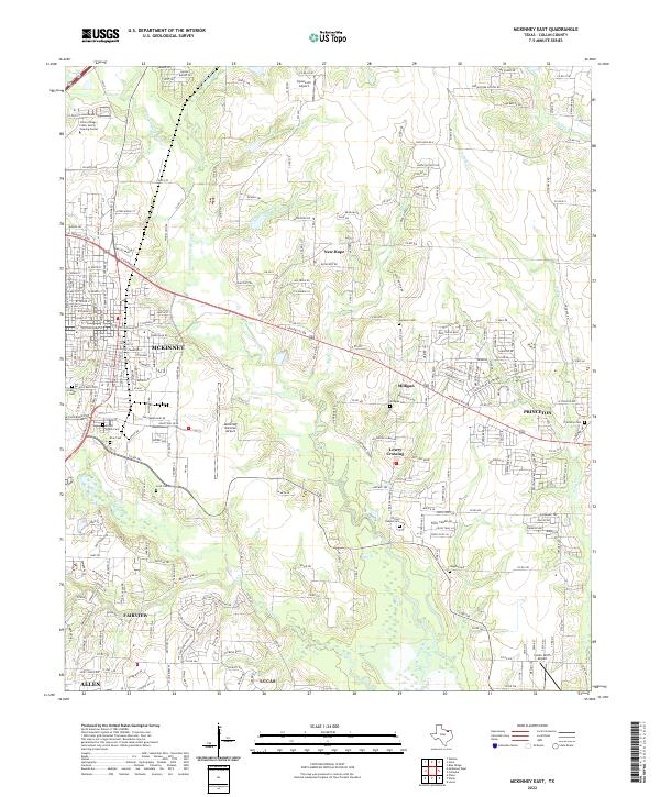
1960 McKinney East
Collin County, TX
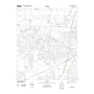
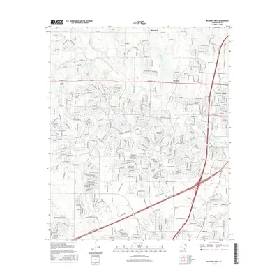
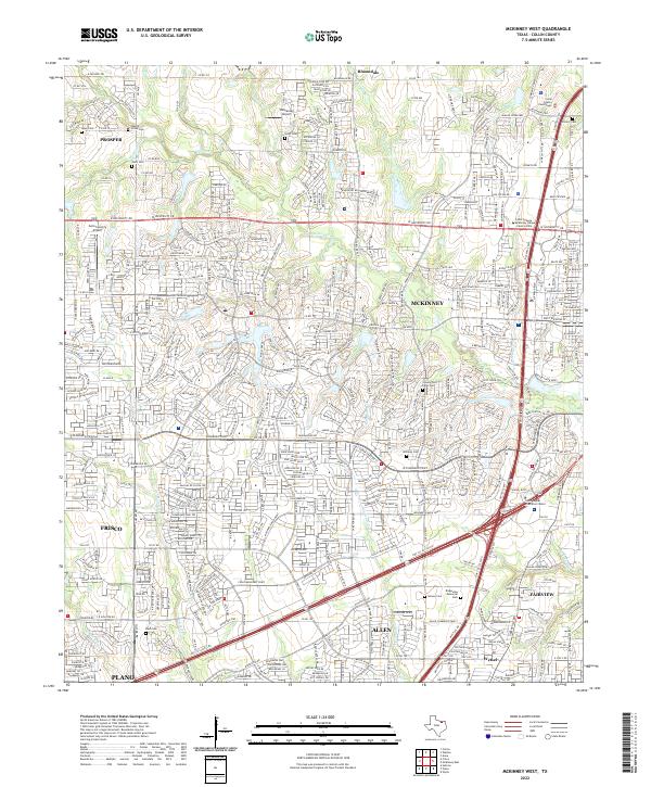
1960 McKinney West
Collin County, TX
1960 Pike
Collin County, TX
2010 Culleoka
Collin County, TX
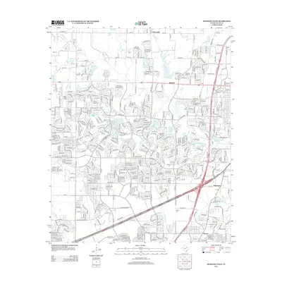
2010 McKinney East
Collin County, TX
2010 McKinney West
Collin County, TX
2010 Pike
Collin County, TX
2013 Culleoka
Collin County, TX
2013 McKinney East
Collin County, TX
2013 McKinney West
Collin County, TX
2013 Pike
Collin County, TX
2016 Culleoka
Collin County, TX
2016 McKinney East
Collin County, TX
2016 McKinney West
Collin County, TX
2016 Pike
Collin County, TX
2019 Culleoka
Collin County, TX
2019 McKinney East
Collin County, TX

2019 McKinney West
Collin County, TX
2019 Pike
Collin County, TX
2022 Culleoka
Collin County, TX
2022 McKinney East
Collin County, TX
2022 McKinney West
Collin County, TX
2022 Pike
Collin County, TX