
1962 Map of Greenville NW
USGS Topo · Published 1964About this map
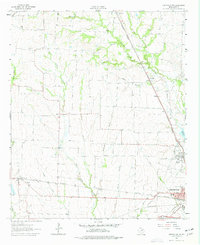
Greenville serves as the focal point of this Northwest Hunt County landscape, where the confluence of three major rail lines—the Missouri-Kansas-Texas, Louisiana and Arkansas, and St Louis Southwestern—highlights the area's mid-century role as a regional transportation hub. Agricultural life is marked by small settlements like Floyd and Kingston, which are supported by local institutions such as Floyd Sch and Elm Ch. The terrain is defined by the Cowleech Fork Sabine River and its numerous tributaries, including McWright Branch and Holder Branch, which weave through the prairie land.
Find a feature on this map
26 named features on this map. Tap any name to fly to it.
Don’t see what you’re looking for? This feature index may not catch every label — zoom into the map to look around manually.
Map Details
Editions of this 1962 Greenville NW Map
2 editions found
Other maps of this area

1930 · Farmersville
USGS Topo · 1:62,500

1954 · Sherman
USGS Topo · 1:250,000

1958 · Sherman
USGS Topo · 1:250,000

1960 · Pike
USGS Topo · 1:24,000

1962 · Greenville SW
USGS Topo · 1:24,000

1962 · Greenville SE
USGS Topo · 1:24,000

1962 · Farmersville
USGS Topo · 1:24,000

1963 · Greenville NE
USGS Topo · 1:24,000
1963 · Josephine
USGS Topo · 1:24,000

1964 · Celeste
USGS Topo · 1:24,000