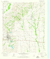
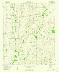
1962 Map of Farmersville
USGS Topo · Published 1965About this map
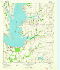
Farmersville serves as the primary hub of this eastern Collin County landscape in the early 1960s, defined by the crossing of the Louisiana And Arkansas and the Gulf Colorado And Santa Fe railroads. The town's grid is dense with local institutions, including an Athletic Field, High Sch, and a prominent Water Tank, while the surrounding countryside is dotted with rural centers like Merit and the small settlement at Markham. The terrain is deeply etched by a network of waterways including Caddo Creek and Indian Creek, with the managed waters of North Lake and South Lake situated just south of the main town site.
Find a feature on this map
35 named features on this map. Tap any name to fly to it.
Don’t see what you’re looking for? This feature index may not catch every label — zoom into the map to look around manually.
Map Details
Editions of this 1962 Farmersville Map
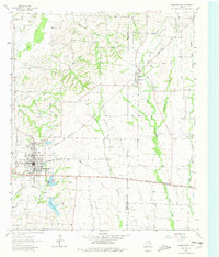
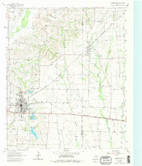
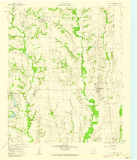
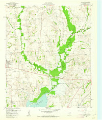
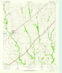
Other maps of this area

1924 · Farmersville 3-c
USGS Topo · 1:48,000

1930 · Farmersville
USGS Topo · 1:62,500

1954 · Sherman
USGS Topo · 1:250,000

1958 · Sherman
USGS Topo · 1:250,000
1960 · Blue Ridge
USGS Topo · 1:24,000
1960 · Pike
USGS Topo · 1:24,000
1960 · Culleoka
USGS Topo · 1:24,000
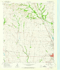
1962 · Greenville NW
USGS Topo · 1:24,000
1962 · Greenville SW
USGS Topo · 1:24,000
1963 · Lavon
USGS Topo · 1:24,000