
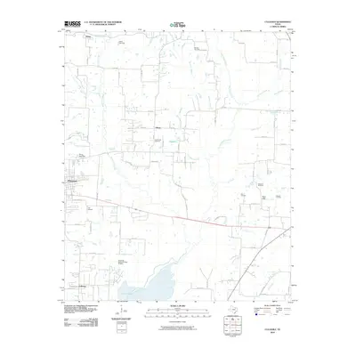
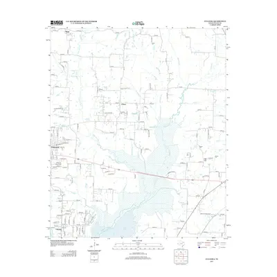
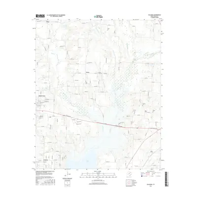
1924 Map of Farmersville 3-c
USGS Topo · Published 1924About this map
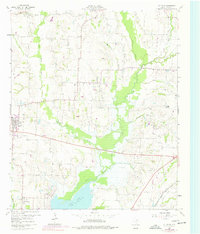
Nevada and Copeville anchor this 1924 study of southeastern Collin County, Texas, conducted by the Texas Reclamation Department. The landscape is defined by the complex drainage of the East Fork Trinity River and its tributaries like Ticky Creek and Pilot Grove Creek. This map reveals a high density of rural schoolhouses, such as Empire School, Cairo School, and Cotton Belt School, which speak to the distributed farming communities that populated the region before mid-century consolidation.
Find a feature on this map
29 named features on this map. Tap any name to fly to it.
Don’t see what you’re looking for? This feature index may not catch every label — zoom into the map to look around manually.
Map Details
Editions of this 1924 Farmersville 3-c Map
This is the sole edition of this map. No revisions or reprints were ever made.
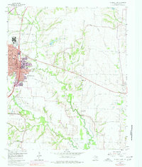
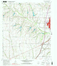
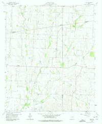
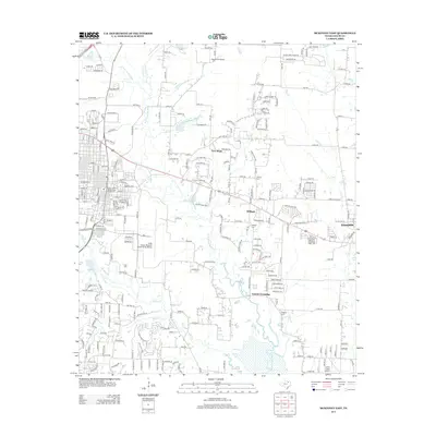
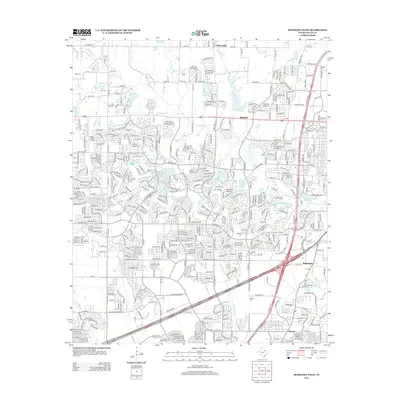
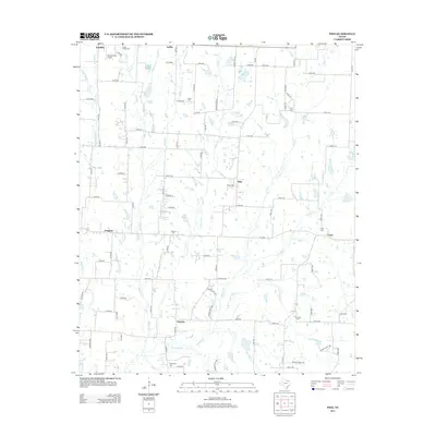
Historical Maps of Dallas Through Time
26 maps found
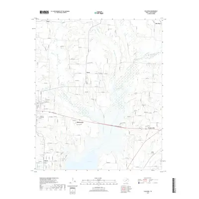
1924 Farmersville 3-c
Collin County, TX

1924 Mc Kinney 4-d
Collin County, TX
1960 Culleoka
Collin County, TX
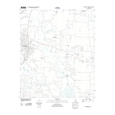
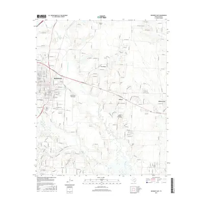
1960 McKinney East
Collin County, TX
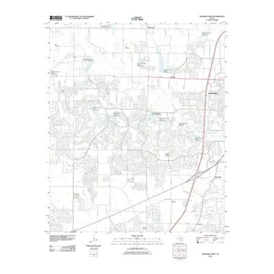
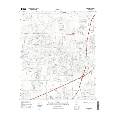
1960 McKinney West
Collin County, TX
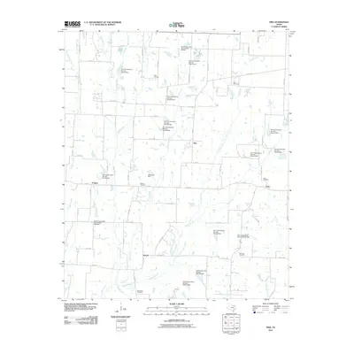
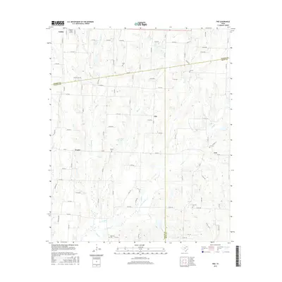
1960 Pike
Collin County, TX
2010 Culleoka
Collin County, TX
2010 McKinney East
Collin County, TX
2010 McKinney West
Collin County, TX
2010 Pike
Collin County, TX
2013 Culleoka
Collin County, TX
2013 McKinney East
Collin County, TX
2013 McKinney West
Collin County, TX
2013 Pike
Collin County, TX
2016 Culleoka
Collin County, TX
2016 McKinney East
Collin County, TX
2016 McKinney West
Collin County, TX
2016 Pike
Collin County, TX
2019 Culleoka
Collin County, TX
2019 McKinney East
Collin County, TX

2019 McKinney West
Collin County, TX
2019 Pike
Collin County, TX
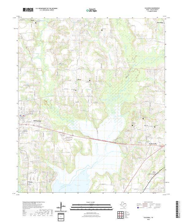
2022 Culleoka
Collin County, TX
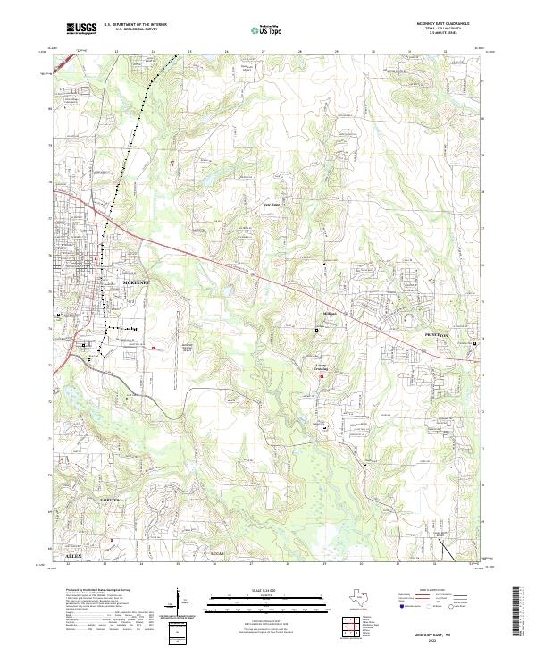
2022 McKinney East
Collin County, TX
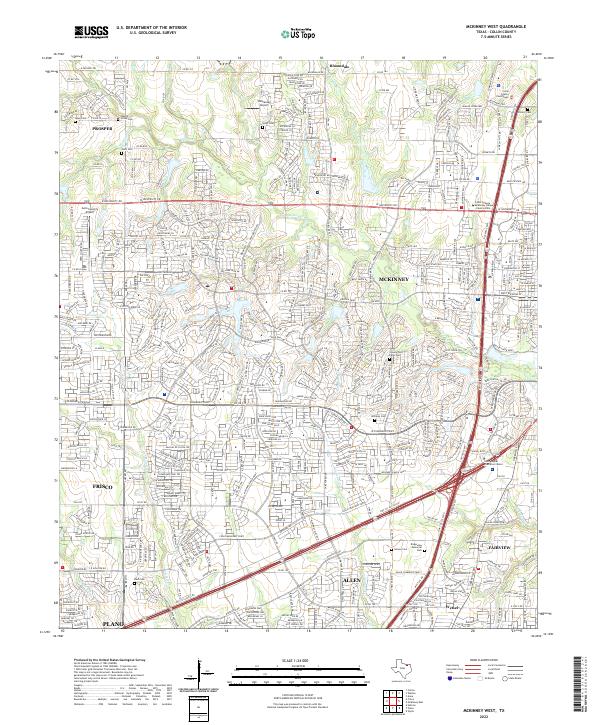
2022 McKinney West
Collin County, TX
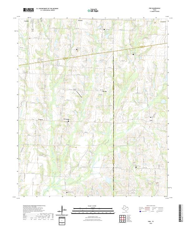
2022 Pike
Collin County, TX