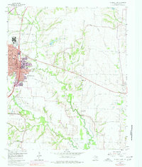
1960 Map of McKinney East
USGS Topo · Published 1977About this map
Mc Kinney is the focal point of this Collin County survey, shown during a period of transition as its street grid expands east of the Southern Pacific railroad. The map records several small, established communities such as New Hope and Milligan, which sit amidst a landscape increasingly shaped by limestone extraction, evidenced by the numerous Quarries and Quarry sites scattered along the East Fork Trinity River. Further east, Princeton appears as a small cluster of activity along the rail line. Beyond the urban growth, the rural landscape is dotted with ancestral landmarks, including the Dunn Memorial Ch and a collection of family-named burial sites like Johnson Cem and Scaff Cem. The southeastern corner of the quadrangle shows the rising waters of Lavon Lake, signaling a significant change to the riparian environment of the Wilson Creek and Ticky Creek bottomlands.
Find a feature on this map
39 named features on this map. Tap any name to fly to it.
Don’t see what you’re looking for? This feature index may not catch every label — zoom into the map to look around manually.
Map Details
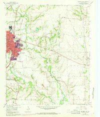
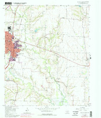
Editions of this 1960 McKinney East Map
4 editions found
Other maps of this area

1924 · Farmersville 3-c
USGS Topo · 1:48,000

1924 · Mc Kinney 4-d
USGS Topo · 1:48,000

1929 · McKinney
USGS Topo · 1:62,500

1930 · Farmersville
USGS Topo · 1:62,500

1954 · Sherman
USGS Topo · 1:250,000

1958 · Sherman
USGS Topo · 1:250,000

1959 · Wylie
USGS Topo · 1:24,000

1960 · McKinney East
USGS Topo · 1:24,000

1960 · Plano
USGS Topo · 1:24,000

1960 · Blue Ridge
USGS Topo · 1:24,000