
1960 Map of Plano
USGS Topo · Published 1961About this map
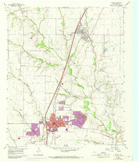
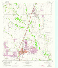
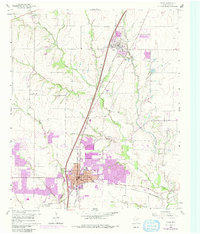
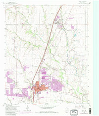
The growing community of Plano is shown here just before the massive expansion of the late 20th century, centered on a dense grid of streets and the junction of the Southern Pacific and St Louis Southwestern railroads. To the north, the town of Allen appears as a smaller settlement alongside the Texas and New Orleans line, surrounded by the agricultural landscape of Collin County. The map provides a detailed view of the area's rural foundations, with family-named landmarks like Fanny Harrington Chapel and Bethany Cem scattered between the winding courses of Rowlett Creek and Cottonwood Creek. Small industrial sites such as a Quarry and a Gravel Pit near Bowman suggest the local extraction activities of the era. The presence of the High School Stadium near the heart of Plano highlights the town's emerging civic center, while numerous creek branches like Beek Branch and Spring Creek define the natural drainage of this Blackland Prairie region.
Find a feature on this map
30 named features on this map. Tap any name to fly to it.
Don’t see what you’re looking for? This feature index may not catch every label — zoom into the map to look around manually.
Map Details
Editions of this 1960 Plano Map
5 editions found
Other maps of this area

1891 · Dallas
USGS Topo · 1:125,000

1893 · Dallas
USGS Topo · 1:125,000

1924 · Mc Kinney 4-d
USGS Topo · 1:48,000

1929 · Frisco
USGS Topo · 1:62,500

1929 · McKinney
USGS Topo · 1:62,500

1931 · Carrollton
USGS Topo · 1:62,500

1954 · Dallas
USGS Topo · 1:250,000

1954 · Sherman
USGS Topo · 1:250,000

1958 · Dallas
USGS Topo · 1:250,000

1958 · Sherman
USGS Topo · 1:250,000