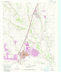
1960 Map of Plano
USGS Topo · Published 1980About this map
Plano and Allen are documented here during a period of significant suburban expansion in Collin County, with purple revisions from 1968 and 1973 highlighting the rapid growth of residential tracts and infrastructure. The area is defined by the convergence of the Southern Pacific and St Louis Southwestern railroads, which historically shaped the development of these prairie settlements. Beyond the growing urban core of Plano, the landscape maintains its rural character with family-named landmarks and historical sites like Fanny Harrington Chapel and Bethany Cem. Numerous waterways, including Rowlett Creek, Spring Creek, and Cottonwood Creek, wind through the terrain, punctuated by several Quarry sites and small settlements like Wetsel and Bowman. The map also captures local civic staples such as the High School, Stadium, and the Mutual Cem near the town center.
Find a feature on this map
27 named features on this map. Tap any name to fly to it.
Don’t see what you’re looking for? This feature index may not catch every label — zoom into the map to look around manually.
Map Details
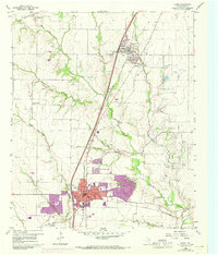
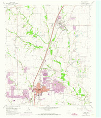
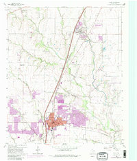
Editions of this 1960 Plano Map
5 editions found

Other maps of this area

1891 · Dallas
USGS Topo · 1:125,000

1893 · Dallas
USGS Topo · 1:125,000

1924 · Mc Kinney 4-d
USGS Topo · 1:48,000

1929 · Frisco
USGS Topo · 1:62,500

1929 · McKinney
USGS Topo · 1:62,500

1931 · Carrollton
USGS Topo · 1:62,500

1954 · Dallas
USGS Topo · 1:250,000

1954 · Sherman
USGS Topo · 1:250,000

1958 · Dallas
USGS Topo · 1:250,000

1958 · Sherman
USGS Topo · 1:250,000