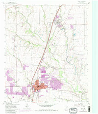
1960 Map of Plano
USGS Topo · Published 1980About this map
The city of Plano is captured during a pivotal era of suburban growth, with the 1960 topography updated through 1973 revisions to show the rapid expansion of residential areas south and east of the historic center. The landscape is defined by the convergence of the Southern Pacific and St Louis Southwestern railroads, which once anchored the local economy before the postwar transition toward modern development. In the northern section of the sheet, the smaller settlement of Allen sits along the rail line, surrounded by several quarries and the waters of Rowlett Creek. Genealogists will find significant local landmarks such as Bethany Cem, Mutual Cem, and the Fanny Harrington Chapel. The map also documents municipal landmarks like the High School Stadium and City Park, illustrating the infrastructure needed to support a burgeoning North Texas population.
Find a feature on this map
27 named features on this map. Tap any name to fly to it.
Don’t see what you’re looking for? This feature index may not catch every label — zoom into the map to look around manually.
Map Details
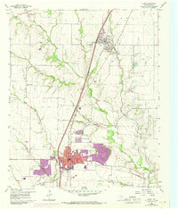
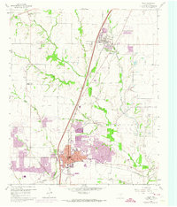
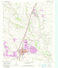
Editions of this 1960 Plano Map
5 editions found

Other maps of this area

1891 · Dallas
USGS Topo · 1:125,000

1893 · Dallas
USGS Topo · 1:125,000

1924 · Mc Kinney 4-d
USGS Topo · 1:48,000

1929 · Frisco
USGS Topo · 1:62,500

1929 · McKinney
USGS Topo · 1:62,500

1931 · Carrollton
USGS Topo · 1:62,500

1954 · Dallas
USGS Topo · 1:250,000

1954 · Sherman
USGS Topo · 1:250,000

1958 · Dallas
USGS Topo · 1:250,000

1958 · Sherman
USGS Topo · 1:250,000